Catalog Archive
Auction 121, Lot 298

"Map of Charleston Harbor S.C.", Bowen & Co., John T.

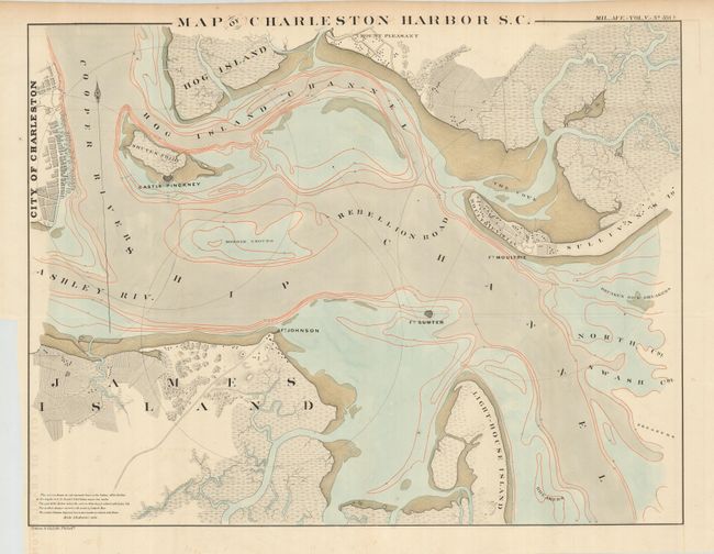
Subject: South Carolina

Period: 1860 (circa)

Publication: American State Papers (ASP) Military Affairs

Color: Hand Color

Size:
22.5 x 17.5 inches
57.2 x 44.5 cm
Download High Resolution Image
(or just click on image to launch the Zoom viewer)

This uncommon chart shows the approaches to Charleston. It was first published in 1835 and republished in the American State Papers. Using a scale of 4 inches = 1 mile, it served as the basis for subsequent maps of the Coast Survey. A key in the lower left says "The curves drawn in red represent lines on the bottom of the harbor at the depths of 6, 12, 18, and 24 feet below mean low water. The part of the Harbor where the water is 18 feet deep is colored with India ink. The surface always covered with water is colored blue. The surface between high and low water marks is colored with bistre." Shows drainage, vegetation, cultivated areas, swampland, roads. The forts are prominently featured, and nine inch circles delineate the range of their guns. Fort Sumter, with smaller guns, uses six inch lines to show their range.

References:

Condition: A

One tiny spot and a trace of offsetting in a couple blank areas.

Estimate: $100 - $150

Sold for: $160

Closed on 9/26/2007

Archived