Catalog Archive
Auction 121, Lot 258

"Sketch of the Lead Mine District in Washington County Missouri Territory", General Land Office
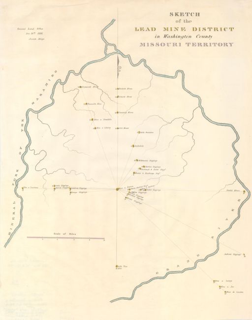
Subject: Missouri

Period: 1832 (circa)

Publication: American State Papers

Color: Hand Color

Size:
14.5 x 18 inches
36.8 x 45.7 cm
Download High Resolution Image
(or just click on image to launch the Zoom viewer)

A detailed map locates thirty-three diggings and mines along the Grand River near present-day Potosi. Many paper records of the early Congresses were destroyed when the Capital burned in 1814. Congress reprinted selected maps and documents from the first 14 Congresses in this publication. Dated 1816, but reprinted in the American State Papers, 1832-38.

References:

Condition: A

Issued folding, now flattened. There are a few short fold separations in the margins.

Estimate: $130 - $170

Unsold

Closed on 9/26/2007

Archived