Catalog Archive
Auction 121, Lot 232

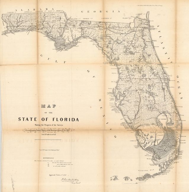
"Map of the State of Florida Showing the Progress of the Surveys…", U.S. State Surveys

Subject: Florida

Period: 1857 (dated)

Publication: Senate Doc. No. 11, HR. Doc. No. 2, 35th Congress, 1st Session

Color: Black & White

Size:
23 x 24 inches
58.4 x 61 cm
Download High Resolution Image
(or just click on image to launch the Zoom viewer)

An early state survey map drawn on a scale of 18 miles to the inch. It shows the topography, vegetation, towns, cities, forts, rivers, lakes, swamps and many early trails and roads. Most of the state is shown as surveyed. Area extends to show the keys and to Dry Tortugas Island and Ft. Jefferson, and locates Ft. Lauderdale, Boca Rabones, Key Biscayne, scores of keys and much, much more. It is signed in the plate by John Westcott, Surveyor General.

References:

Condition: C+

A few long fold splits with a bit of toning along folds. Scattered foxing, light offsetting and some residual printer's ink at lower left corner well away from any printing. A very nice example that is worthy of professional backing.

Estimate: $80 - $100

Sold for: $95

Closed on 9/26/2007

Archived