Catalog Archive
Auction 121, Lot 196

"A New Map of Nebraska, Kansas, New Mexico and Indian Territories", Desilver, Charles

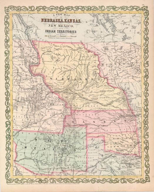
Subject: United States - Central and Southwest

Period: 1856 (dated)

Publication: New Universal Atlas

Color: Hand Color

Size:
12.8 x 15.8 inches
32.5 x 40.1 cm
Download High Resolution Image
(or just click on image to launch the Zoom viewer)

Fascinating map of the transitional states and territories from this important series originating with Samuel Augustus Mitchell. The map is filled with early county configurations, exploration routes, and various trails including the Santa Fe and Oregon Trail. Nebraska Territory extends between Canada and Kansas, with Washington and Oregon to the west and Minnesota in the east. Oklahoma is Indian Territory, and New Mexico Territory extends from California to Texas and features the northern county of Taos that reaches into the future Colorado. Part of Utah Territory is shown and extends to Middle Park in present-day Colorado with its eastern border formed by Nebraska and Kansas. The map is surrounded with a unique and decorative border.

References:

Condition: A

Nice condition with one repaired, short tear in the lower margin, not affecting the map.

Estimate: $400 - $450

Sold for: $300

Closed on 9/26/2007

Archived