Catalog Archive
Auction 121, Lot 184

"The Southern States and Missisippi Territory", Carey, Mathew

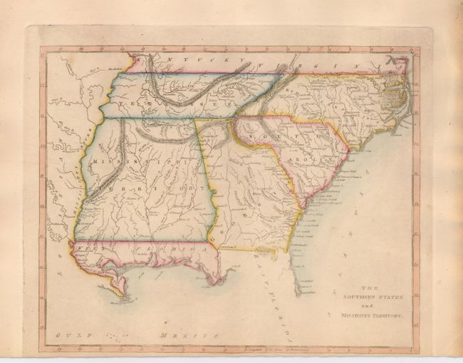
Subject: United States - Southern

Period: 1812 (circa)

Publication:

Color: Hand Color

Size:
9.5 x 7.5 inches
24.1 x 19.1 cm
Download High Resolution Image
(or just click on image to launch the Zoom viewer)

Mathew Carey was a seminal figure in early American publishing; establishing the first publishing firm to specialize in cartography and issuing the first atlas devoted exclusively to American maps. He set up an elaborate cottage system of craftsmen for compiling, engraving, printing, and coloring maps. This practice was emulated by later American cartographic publishers such as John Melish and Henry S. Tanner. The American Atlas concept was also adopted by other publishers in both the United States and Europe.

This is an uncommon map that covers current-day Tennessee, North Carolina, South Carolina, Georgia, Alabama, Mississippi and northern Florida. The oversized Mississippi Territory includes today's Alabama. The Florida Panhandle is designated as West Florida. The area west of the Mississippi is Louisiana.

References:

Condition: B+

The map has original color. Close margin at bottom, as issued. The left and right edges are a bit toned.

Estimate: $200 - $300

Sold for: $250

Closed on 9/26/2007

Archived