Catalog Archive
Auction 121, Lot 180

"Les Costes aux Environs de la Riviere de Misisipi. Decouvertes par Mr. de la Salle en 1683…", Fer, Nicolas de

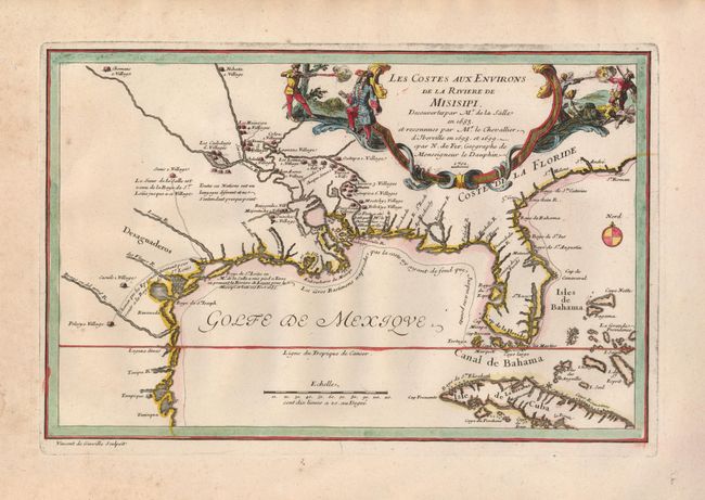
Subject: Colonial South

Period: 1701 (dated)

Publication:

Color: Hand Color

Size:
13 x 8.5 inches
33 x 21.6 cm
Download High Resolution Image
(or just click on image to launch the Zoom viewer)

This interesting map focuses on the French explorations and discoveries in the Mississippi Valley and the Gulf Coast. Here, de Fer highlights information gleaned from the expeditions of La Salle and Iberville and its primary purpose was to show the progress of French exploration in the region. The map shows the basically correct relationship of the Mississippi River to Lake Pontchartrain and the Gulf of Mexico. La Salle had explored the Mississippi from the north in 1682-83 and returned by sea to establish a French colony in 1685. He missed the Mississippi delta and landed on the Texas coast, an error probably due to his inability to calculate longitude and because prominent maps of the period placed the mouth of the river far to the west of its true location. The site of La Salle's ill-fated colony near Matagorda Bay in modern Texas is shown and the title cartouche also dramatizes the explorer's tragic death at the hands of his own men. This is the first state, engraved by Vincent de Ginville.

References: Day #1458; Lemmon, Magill & Wiese #12; Martin & Martin #13.

Condition: B+

A dark impression on a sheet with some minor marginal staining and a couple of wormholes. There is a minor paper flaw with a tiny hole near Alabama.

Estimate: $1,300 - $1,500

Sold for: $1,000

Closed on 9/26/2007

Archived