Catalog Archive
Auction 121, Lot 174

"Pas Kaart van de Zee Kusten van Virginia Tusschen…", Keulen, Johannes van

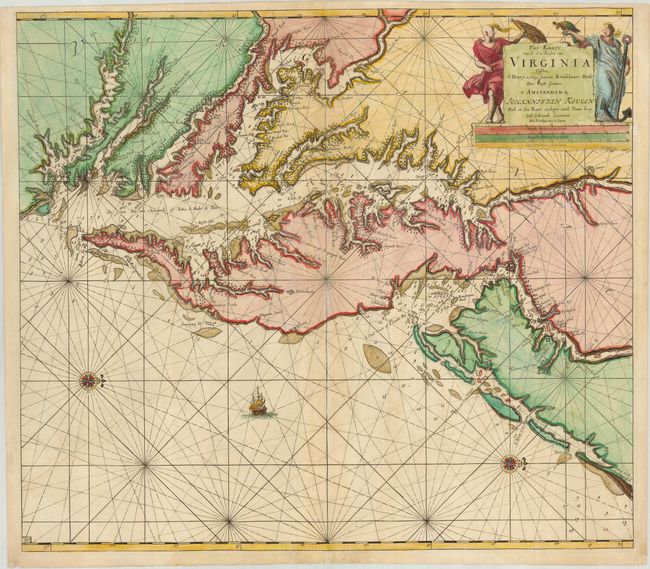
Subject: Colonial Chesapeake and Delaware Bay

Period: 1684 (circa)

Publication: Zee-Fakkel

Color: Hand Color

Size:
23 x 20 inches
58.4 x 50.8 cm
Download High Resolution Image
(or just click on image to launch the Zoom viewer)

A scarce coastal chart of the Chesapeake and Delaware Bay region, extending south to Cape Henry and north to southern New Jersey and Pennsylvania. The new settlement of Philadelphia is noted as Filadelfy, a very early naming of the city. The cartography is based on Augustine Hermann's rare map of 1670, known in only a handful of examples, which succeeded the John Smith map of the region as far as accuracy and detail. The individual settlements are noted pictorially along the coastline, and soundings and shoals are noted. North is oriented to the right, and a lone ship sails the sea. A pair of allegorical figures flank the cartouche.

References:

Condition: B

A good impression with attractive color. There is some residue from previous manuscript notations that are faintly visible within the map, and a couple areas of light abrasion. The centerfold has been repaired at the bottom.

Estimate: $5,500 - $6,500

Sold for: $5,000

Closed on 9/26/2007

Archived