Catalog Archive
Auction 121, Lot 110

"Canada", Duval, Pierre
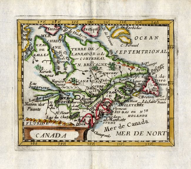
Subject: Canada

Period: 1682 (published)

Publication: La Geographie Universelle

Color: Hand Color

Size:
4.8 x 3.8 inches
12.2 x 9.7 cm
Download High Resolution Image
(or just click on image to launch the Zoom viewer)

This little map is derived from Sanson's influential Le Canada ou Nouvelle France of 1656. The map is centered on the French possessions in North America with emphasis on the Great Lakes. Lake Superior and Michigan (Lac des puants) are shown with open-ended western shores and Lake Erie (Lac du Chat) is located too far south. In northern Canada a sea route is shown through the northwest part of Hudson Bay. The British, Dutch and Swedish colonies are depicted along the eastern seaboard from Virginia to I. de Terre Neuve. This is the third state with several additional names including Mer de Canada, 3 Rivieres, Manhate, B. Chesapeak and Boston.

References: Burden #351; Kershaw #142; McCorkle #661.1.

Condition: A

Good impression. There is a small paper flaw in bottom margin, well away from the map.

Estimate: $500 - $600

Unsold

Closed on 9/26/2007

Archived