Catalog Archive
Auction 121, Lot 10

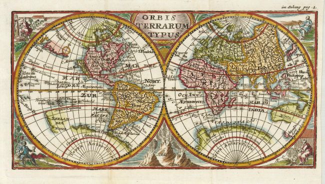
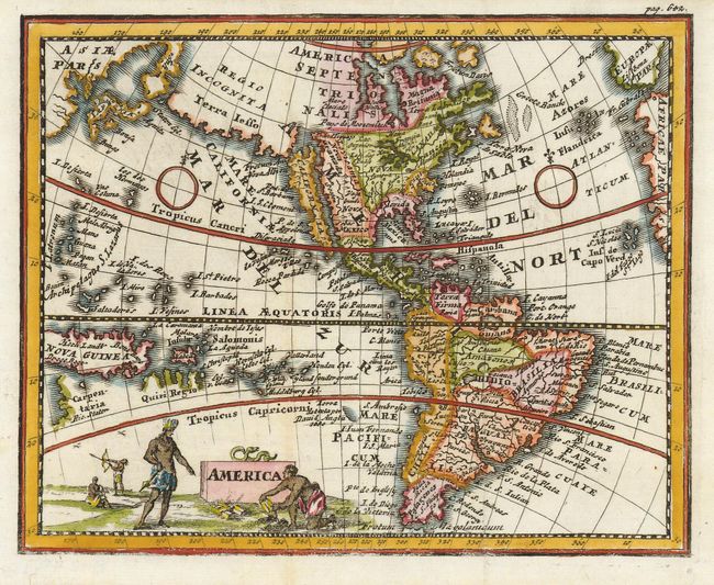
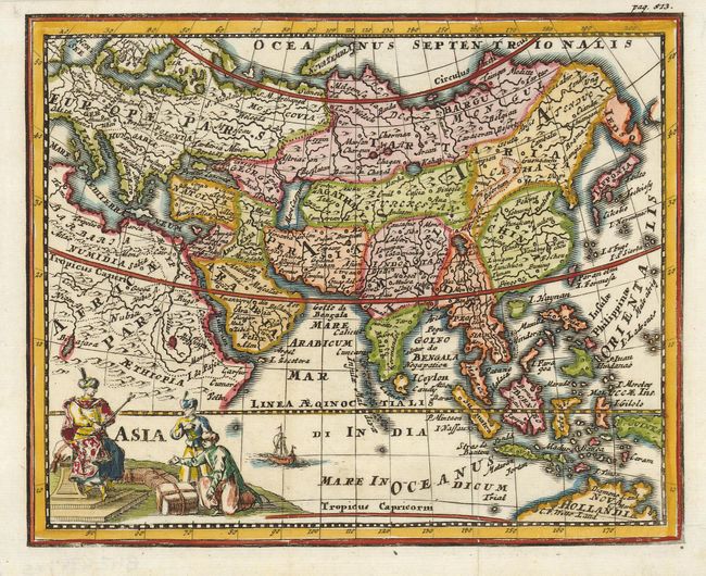
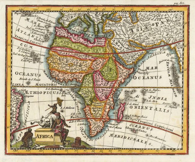
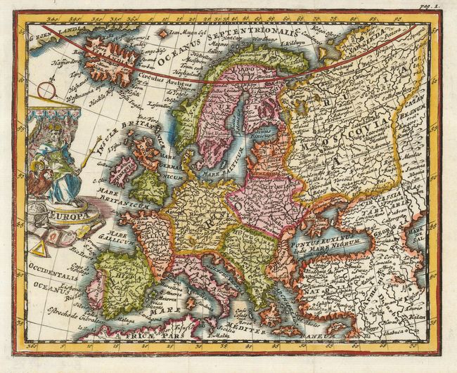
"[Lot of 5] Orbis Terrarum Typus [with] America [and] Asia [and] Africa [and] Europa", Cluver, Philipp

Subject: World & Continents

Period: 1727 (circa)

Publication: Philippi Cluveri introductionis in universam geographiam

Color: Hand Color

Size:
7.2 x 5.7 inches
18.3 x 14.5 cm
Download High Resolution Image
(or just click on image to launch the Zoom viewer)

This is a beautifully engraved set of small maps from this immensely popular book that was first published in 1624 without maps. There were many editions throughout the seventeenth and eighteenth centuries with maps from several sets of plates. This edition, published in Nuremberg, is very uncommon. Sizes vary slightly.
1) Orbis Terrarum Typus shows California as an island. Portions of the coastlines of Australia and New Zealand are shown in the Pacific and Australis Regio covers most of the South Pole, with a suggested attachment to Tierra del Fuego. The map is decorated with four figures in each corner and a representation of the volcanoes Vesuvius, Hecla and Aetna between the cusps. (9 x 4.6") (9 x 4.6")
2) America depicts the island of California as a lengthy, craggy island that nearly touches the massive Terra Iesso that stretches between Japan and the Pacific Northwest coast. The Great Lakes are amorphous and open-ended. The fictitious peninsula of Yupi is shown nearly touching Japan. South America shows the unnamed mythical Lake Parime on the equator. The map is adorned with a landscape featuring Native Americans near a block cartouche topped with a serpent.
3) Asia is filled with numerous place names. Japan is now shown with the peninsular form of Iedso (Hokkaido) above. A portion of the northern coastline of Australia is noted as C. F. Wills Land. The figurative cartouche shows Ottoman traders with their merchandise.
4) Africa delineates the continent with river systems and lakes in the interior, many fictitious, although the course of the Nile is fairly accurate. The map is decorated with a figurative cartouche showing an elephant and natives.
5) Europa is a delicately engraved map extending to Iceland and the coast of Greenland in the north, and the northern coastline of Africa in the south. The interior is filled with place names and topography, and the figure of Europa on her throne decorates the map.

References: 1) Shirley #481; 2) McLaughlin #194.

Condition: A+

Estimate: $1,500 - $2,000

Sold for: $1,100

Closed on 9/26/2007

Archived