Catalog Archive
Auction 120, Lot 776

"A New & Correct Chart of the Coast of Guinea From Cape Verd to Cape Negro", Senex, John

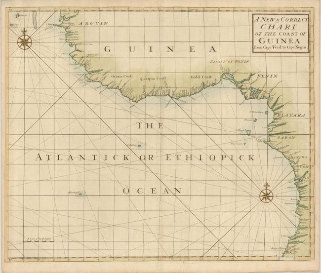
Subject: Western Africa

Period: 1728 (published)

Publication: Atlas Maritimus et Commercialis…

Color: Hand Color

Size:
23.8 x 19.5 inches
60.5 x 49.5 cm
Download High Resolution Image
(or just click on image to launch the Zoom viewer)

A very scarce sea chart of the western coast of Africa from a sea-atlas compiled by Nathaniel Cutler, with the assistance of Edmund Halley. This atlas was only printed once and its maps are rarely seen on the market. The chart provides an excellent view of the coastal area from Cape Verde to Angola with excellent detail of the Gulf of Guinea and notations indicating the Gold Coast, Grain Coast and the Quaqua Coast. The map is decorated with two spectacular compass roses.

References:

Condition: A

The map has a mild crease, reinforced on the verso with light Japanese tissue.

Estimate: $300 - $400

Sold for: $220

Closed on 7/18/2007

Archived