Catalog Archive
Auction 120, Lot 33

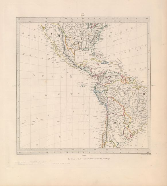
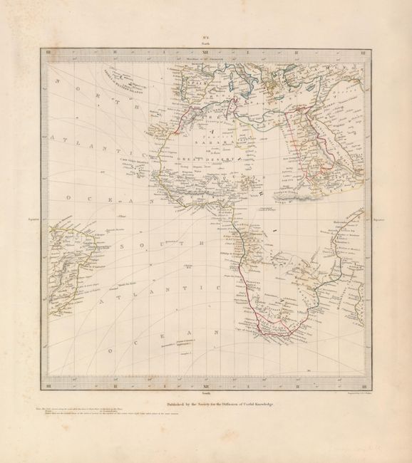
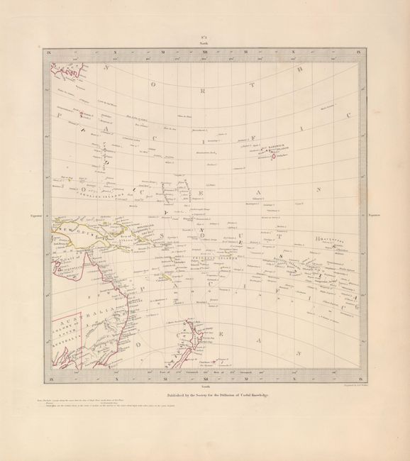
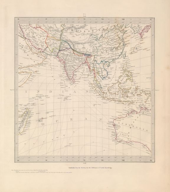
"[Lot of 6 - World]", SDUK Society for the Diffusion of Useful Knowledge
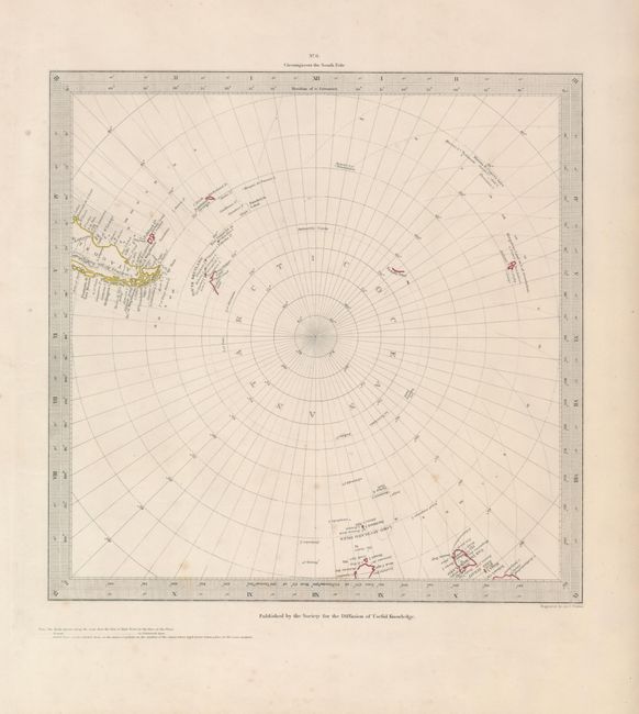
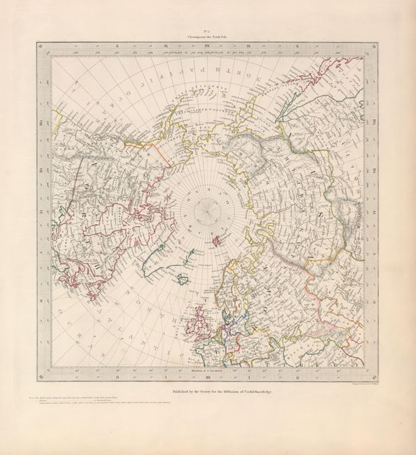
Subject: World

Period: 1840 (circa)

Publication:

Color: Hand Color

Size:
10.5 x 10.75 inches
26.7 x 27.3 cm
Download High Resolution Image
(or just click on image to launch the Zoom viewer)

The beginning of the nineteenth century saw a period of rapid market growth and innovation in the map publishing world. Increased literacy and public interest in new frontiers and colonies overwhelmed the market because it was oriented toward the small, affluent market of the previous century. With the intent to fill this void, The Society for the Diffusion of Useful Knowledge (SDUK) was founded in 1828 in London, by Lord Brougham and a group of men dedicated to the education of the aspiring working class and the Utilitarian ideal of 'Knowledge is Power.' The society produced an array of education materials, but the series of maps was one of their most successful ventures. A number of engravers and printers were used to produce the maps, which eventually exceed 200 sheets, and continued to be published after the Society as a whole ceased to function.

A nice group of steel-engraved maps encompassing the entire world, noting co-tidal lines, or points on the surface of the ocean where high tide takes place in the same instant. The four continental maps are on Mercator's projection while the other two are on polar projections.

No. 1 describes the continent of Africa with minimal interior detail , the southernmost portion of Europe and a bit of Asia. A good portion of the Atlantic is shown along with the eastern tip of Brazil.
No. 2 shows a majority of North and South America, and Texas is shown as an independent Republic. No. 3 delineates the South Pacific with all its attendant islands , New Guinea, New Zealand and the western part of Australia and southern tip of Japan.
No. 4 details all of Southeast Asia, China, the Philippines, the Middle East, and the eastern portion of Australia.
No. 5 is a North Polar projection describing the northern portions of Asia, Europe, and North America.
No. 6 describes the South Pole, showing Tasmania and the southern tip of South America.

References:

Condition: B

Original outline color with scattered light foxing.

Estimate: $400 - $600

Sold for: $500

Closed on 7/18/2007

Archived