Catalog Archive
Auction 120, Lot 307

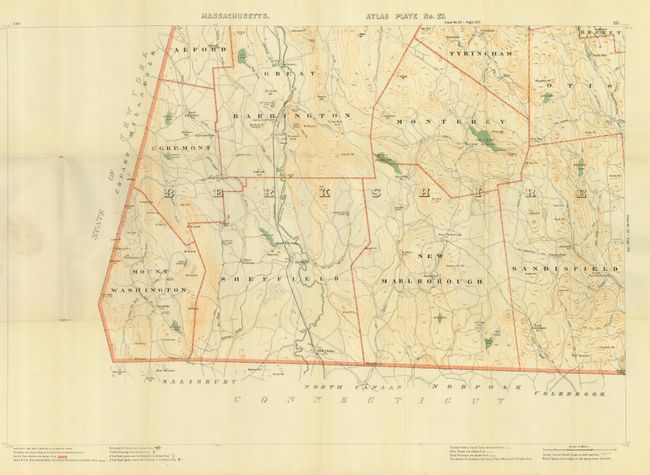
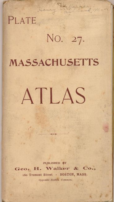
"Plate No. 27. Massachusetts Atlas [Western Massachusetts]", Walker, George H. & Co.

Subject: Massachusetts

Period: 1891 (dated)

Publication:

Color: Printed Color

Size:
26 x 17.5 inches
66 x 44.5 cm
Download High Resolution Image
(or just click on image to launch the Zoom viewer)

This seldom seen pocket map details the townships of Mount Washington, Egremont, Alford, Great Barrington, Sheffiled, Tyringham, Monterey, New Marlborough, Otis, and Sandisfield. Extensive legend at bottom notes boundaries, schools, churches, railroad stations, roads and the 'best' roads are differentiated, post offices, and 100 feet contour lines. Locates Berkshire Heights, Belcher's Cave, Prospect Hill, the Free Quarter, Negro Hill, and more. Also shows railroad and road crossings with different symbols to indicate crossing on grade, as well as roads crossing above and below the line. Map folds into paper covers that includes a list of maps and pocket maps available. A list of over 120 maps begins on the inside front cover and extends to the back cover . The list includes city plans, pocket railroad maps, bird's-eye views, and road maps. This map is shown with a price of $0.25.

References:

Condition: B

Bright and lovely example that has some fold intersection splits. The cover is a little soiled, more at upper margin.

Estimate: $100 - $140

Unsold

Closed on 7/18/2007

Archived