Catalog Archive
Auction 120, Lot 180

"Etats Unis et Grandes Antilles", Chamouin, Jean Baptiste Marie

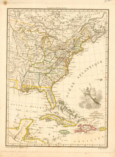
Subject: Eastern United States

Period: 1805 (circa)

Publication:

Color: Hand Color

Size:
8.7 x 11.7 inches
22.1 x 29.7 cm
Download High Resolution Image
(or just click on image to launch the Zoom viewer)

Early nineteenth century map showing the United States with its western boundary on the Mississippi River. There is a huge Mississippi Territory and Florida is still divided into western and eastern territories and incorporates the Gulf Coast to New Orleans. The region between the upper Mississippi and the Ohio River is unorganized. The lower portion of the map extends to include Cuba, Jamaica, Haiti, and Puerto Rico. The title is engraved on the shield of a female representation of Columbia.

References:

Condition: B+

Nice impression on sound paper with some spots of foxing.

Estimate: $150 - $200

Sold for: $75

Closed on 7/18/2007

Archived