Catalog Archive
Auction 120, Lot 177

"Part of the United States of North America", Stockdale, John

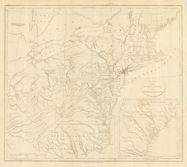
Subject: Eastern United States

Period: 1798 (dated)

Publication: Travels Through the States of North America

Color: Black & White

Size:
18.5 x 16.2 inches
47 x 41.1 cm
Download High Resolution Image
(or just click on image to launch the Zoom viewer)

Early map of the young United States is filled with great information on the early roads and settlements. The map covers from the Province of Main through North Carolina with a large inset of South Carolina and Georgia. West of the states are the Western Territory and Kentucky. The villages of "Christian Indians" are located.

A member of the Irish gentry, Isaac Weld traveled to North America as a young man in search of adventure. He visited the settled regions of the eastern seaboard and then ventured into the hinterland with the assistance of Indian guides. Weld's account of his travels is one of the earliest illustrated amateur travel accounts to be devoted to North America. It was very popular and went through several editions in English and translations into French, German, Italian and Dutch.

References: McCorkle #798.5.

Condition: B+

Printed on sturdy paper with folds as issued. The map has a few spots of discoloration, not distracting from the map.

Estimate: $300 - $350

Sold for: $220

Closed on 7/18/2007

Archived