Catalog Archive
Auction 120, Lot 107

"Carte Encyprotype de l'Amerique Septentrionale…", Brue, Adrien Hubert

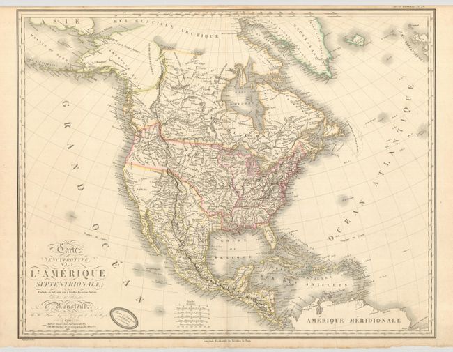
Subject: North America

Period: 1819 (dated)

Publication: Grand Atlas Universel…

Color: Hand Color

Size:
28.5 x 21.8 inches
72.4 x 55.4 cm
Download High Resolution Image
(or just click on image to launch the Zoom viewer)

Fascinating and detailed depiction of North America reduced from Brue's important 4-sheet map. The western cartography is based on the maps of Vancouver, Humboldt, Arrowsmith, Lafora and Pike. The Northwest is well-defined, using the information from the Lewis & Clark expedition. A large District de la Colombia reaches up into present-day Canada, reflecting American claims in the region. The West also features some fictitious rivers , including the S. Buenaventura, flowing from the Rockies into Salt Lake, and the dotted R. St. Phelipe reaching from L. Timpanagos to San Francisco. Farther south the Rio de la Pyramyde is connected by dotted lines with a short Rio de los Martires with dotted lines continuing down to the Gulf of California. The Prov. of Texas and San Antonio are named in Mexico. This is an uncommon and important map, filled with much information on topography particularly in the West.

References: Wheat [TMW] #321.

Condition: A

Lovely map with original color. There is one small spot of abrasion in an unengraved area of the Pacific.

Estimate: $1,200 - $1,500

Sold for: $900

Closed on 7/18/2007

Archived