Catalog Archive
Auction 119, Lot 924

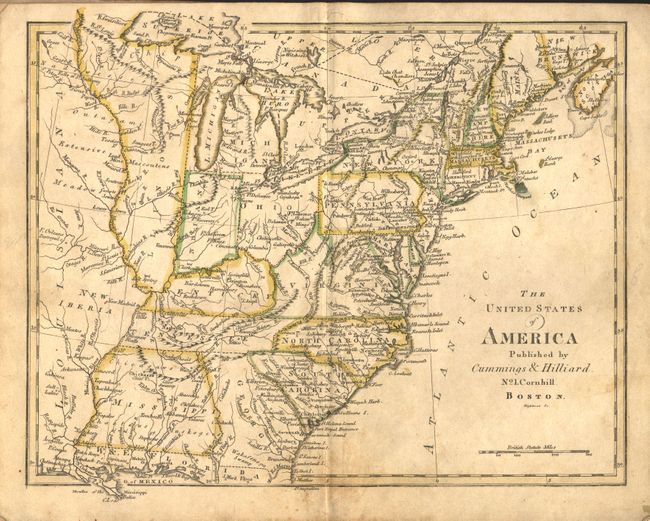
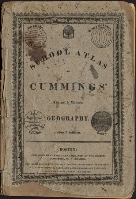
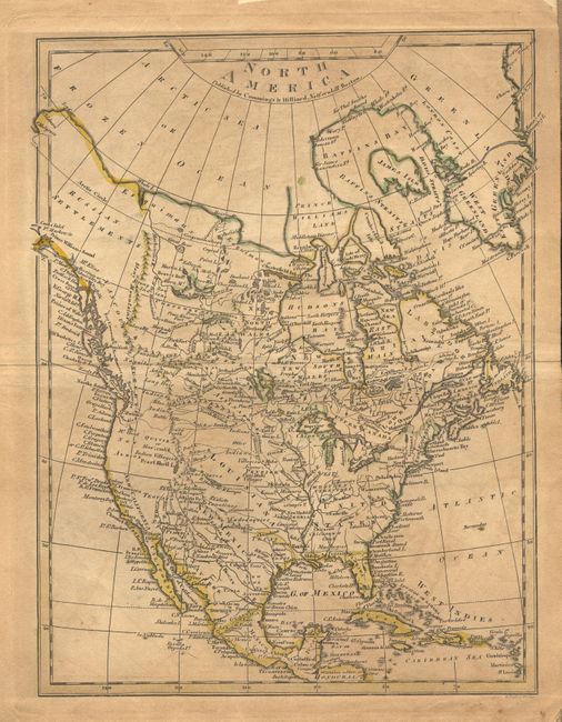
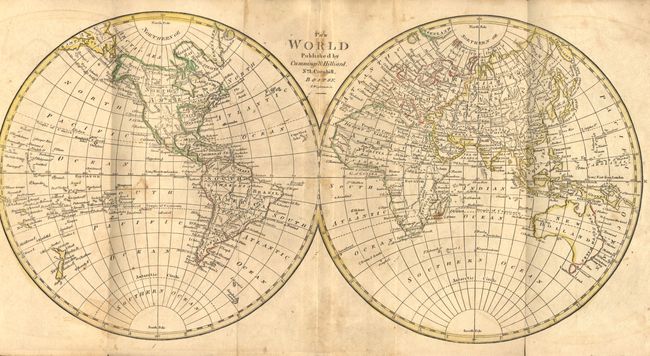
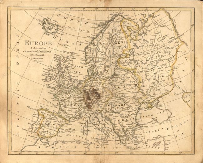
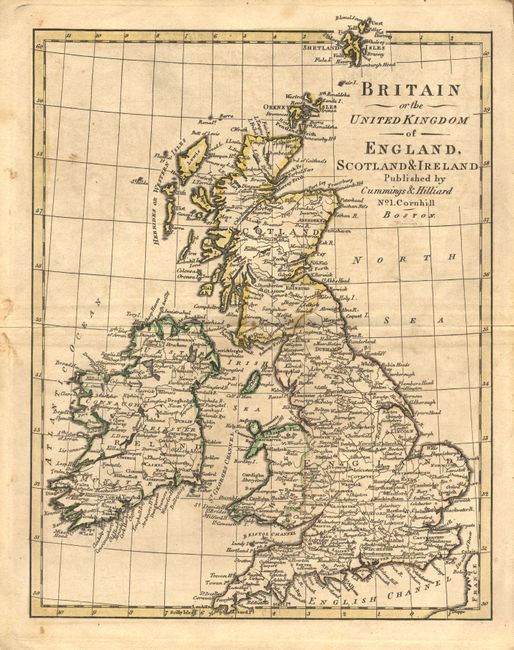
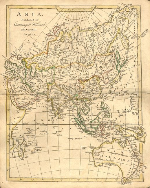
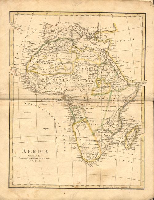
"School Atlas to Cummings' Ancient & Modern Geography", Cummings & Hilliard

Subject: Geography Books

Period: 1805 (circa)

Publication:

Color: Hand Color

Size:
6.5 x 9.5 inches
16.5 x 24.1 cm
Download High Resolution Image
(or just click on image to launch the Zoom viewer)

This Fourth Edition is complete with 8 double-page maps of the world and continents in original outline color. This early geography contains a nice early map of North America that shows the United States confined east to the Mississippi River, Louisiana taking in the central plains region and New Mexico incorporating Tecas. Several western rivers hint at possible passages from the Missouri River to the Pacific. Numerous forts and Indian tribes are also mentioned. Original stiff paper covers.

References:

Condition: B

Maps toned with minor foxing. Covers show wear with scuffing, and fraying. Spine well worn with some loss.

Estimate: $250 - $300

Sold for: $180

Closed on 5/9/2007

Archived