Catalog Archive
Auction 119, Lot 680

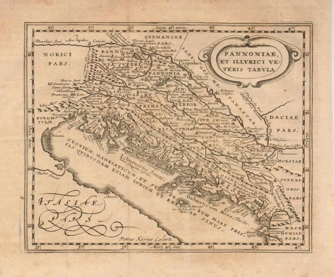
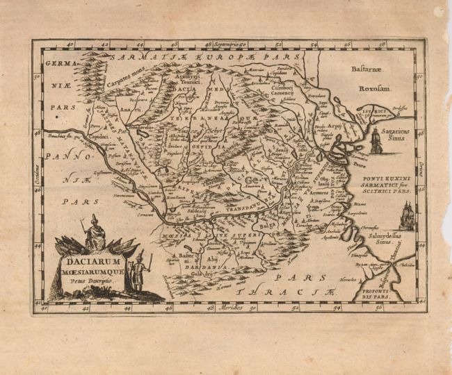
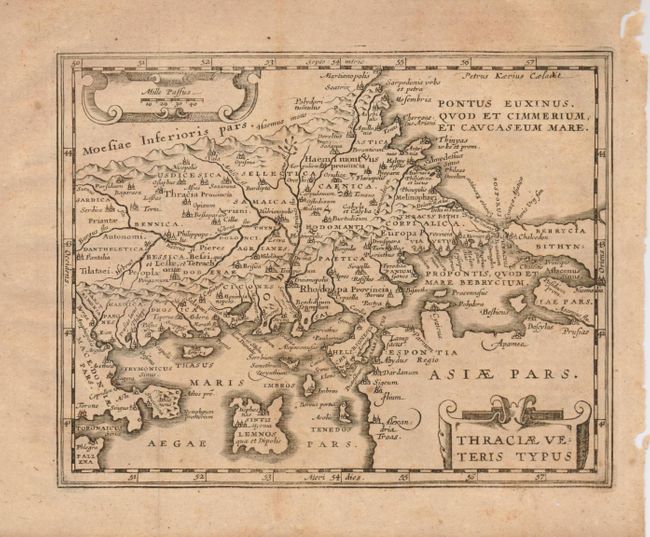
"[Lot of 3] Pannoniae, et Illyrici Veteris Tabula [and] Daciarum Moesiarumque Vetus Descriptio [and] Thraciae Veteris Typus", Cluver, Philipp

Subject: Balkans

Period: 1680 (circa)

Publication: Introductionis in Universam Geographicam

Color: Black & White

Size:
8 x 6 inches
20.3 x 15.2 cm
Download High Resolution Image
(or just click on image to launch the Zoom viewer)

Nice group of small maps of the Balkan region based on Ortelius. Sizes vary slightly.

1) Pannoniae, et Illyrici Veteris Tabula is an attractive historical map of the Dalmatian coast from Italy to Greece. The map is based on Ortelius' map of the same title, which was based on Gastaldi's map of South East Europe (1560) and other information from ancient sources. Decorated with a strapwork title cartouche and engraved by Petrus Kaerius.
2) Daciarum Moesiarumque Vetus Descriptio is a handsome small map of the ancient region of Romania and Bulgaria based on Ortelius' map of the same title. It is filled with old place names and embellished with a fine title cartouche.
3) Thraciae Veteris Typus covers the ancient region of present-day European Turkey and part of Greece, with cartography based on Ortelius' map of the same title. Beautifully engraved by Petrus Kaerius and adorned with strapwork title and scale of miles cartouches.

References:

Condition: B

There is a little uneven toning. There are a few wormholes in the blank margins, and the right binding sides are a little close with some chipping but still sufficient for framing.

Estimate: $120 - $150

Sold for: $90

Closed on 5/9/2007

Archived