Catalog Archive
Auction 119, Lot 43

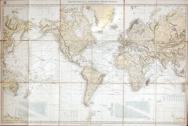
"Tracks for Full-Powered Steam Vessels with Distances in Nautical Miles", U.S. Hydrographic Office

Subject: World

Period: 1891 (dated)

Publication:

Color: Printed Color

Size:
43.3 x 27.2 inches
110 x 69.1 cm
Download High Resolution Image
(or just click on image to launch the Zoom viewer)

Fascinating, large folding map showing the steam ship routes for the whole world. The routes include a number to the Hawaiian Islands, Australia and Asia. The bottom of the map includes tables with mileage between points, as well as a chart comparing routes via the Strait of Magellan and the Cape of Good Hope. Folding case map dissected and mounted on linen, folding into red quarter leather and morocco boards with gilt title and name of the original owner (J.M. Baker).

References:

Condition: B

The map has some fold separations. The boards are a little worn and the cover has separated completely, but is still present.

Estimate: $150 - $200

Sold for: $110

Closed on 5/9/2007

Archived