Catalog Archive
Auction 119, Lot 403

"West Indies", Tanner, Henry Schenck
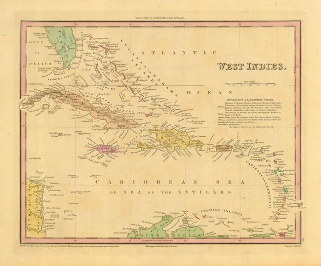
Subject: Caribbean

Period: 1834 (dated)

Publication: Universal Atlas

Color: Hand Color

Size:
14 x 11 inches
35.6 x 27.9 cm
Download High Resolution Image
(or just click on image to launch the Zoom viewer)

This colorful and informative map of the West Indies is coded to show "Possessions of the European Powers". Color indicates the colonial holdings of the British, French, Spanish, Dutch, Danish, and Swedish. The map extends from Florida and the Bahamas Islands to include all of the Caribbean islands, and parts of Guatemala and South America. The border is blanked out to reveal the full extent of Cuba and Barbados.

References:

Condition: B

A nice example on thick paper with full margins and original hand coloring. Just a little toning visible in blank areas.

Estimate: $140 - $180

Sold for: $100

Closed on 5/9/2007

Archived