Catalog Archive
Auction 119, Lot 393

"Carte du Golphe du Mexique et des Isles Antilles Reduite de la grande Carte Angloise de Popple", Buache/Dezauche

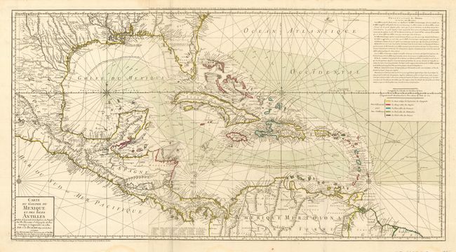
Subject: Gulf of Mexico and Caribbean

Period: 1780 (dated)

Publication:

Color: Hand Color

Size:
36 x 19.3 inches
91.4 x 49 cm
Download High Resolution Image
(or just click on image to launch the Zoom viewer)

This uncommon map is focused on the Gulf of Mexico and includes the Caribbean islands, Central America and the northern tip of South America. This chart is an updated version of Buache's map of 1740, which itself was based on Henry Popple's important and influential 21-sheet map of 1733. The map shows the variations in the trade winds and includes several navigation routes including the Spanish gold fleet from Vera Cruz to Havana. The entire coastal and interior areas are shown with excellent detail, particularly those of Florida and present-day Texas. The colonial possessions of the region are shown via a color-coded key at the right, beneath a block of explanatory French text. The map is printed on two joined sheets, and is topped with a second title above the neatline; Carte d'une Partie de l'Amerique pour la Navigation…

References: Sellers & Van Ee, #1707; Tooley (Amer) p. 29, #92.

Condition: A

Fine impression printed on strong paper with original color. The map has a couple near-invisible stains and there is one piece of archival tape on the verso supporting a marginal centerfold separation.

Estimate: $1,800 - $2,400

Sold for: $1,600

Closed on 5/9/2007

Archived