Catalog Archive
Auction 119, Lot 392

"[2 Sheets] Carte des Isles Antilles et du Golfe du Mexique avec la Majeure partie de la Nouvelle Espagne [2 of 3 sheets]", Bonne, Rigobert

Subject: Mexico, Gulf of Mexico and Central America

Period: 1780 (dated)

Publication:

Color: Hand Color

Size:
19.5 x 26 inches
49.5 x 66 cm
Download High Resolution Image
(or just click on image to launch the Zoom viewer)
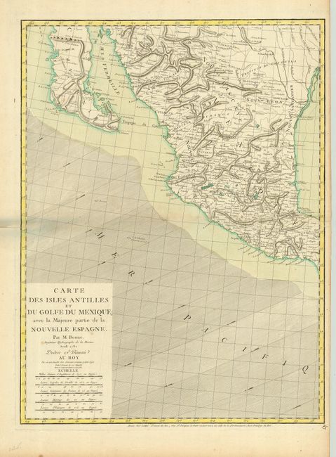
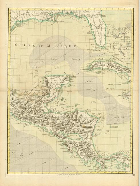
These are the two western sheets of a very scarce three-sheet map. These sheets include the title and cover the region from Baja Mexico through the Gulf of Mexico, including Florida, the Bahamas and western Cuba, and south through Central America. They do not cover the Antilles. The maps are beautifully engraved with detail of the provinces, towns, and forts inland and considerable navigational information including trade-wind direction in the oceans. Each chart stands on its own with complete borders (size given is for each sheet). These are from the first state of the plates.

References: Sellers & Van Ee #1703.

Condition: B

Good impression with original coloring. Slight toning along folds with a light spot in Nicaragua, else very good.

Estimate: $1,000 - $1,500

Sold for: $650

Closed on 5/9/2007

Archived