Catalog Archive
Auction 119, Lot 32

"Essay d'une Carte Reduite, Contenant les Parties Connuees du Globe Terrestre", Bellin, Jacques Nicolas
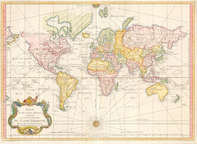
Subject: World

Period: 1748 (dated)

Publication:

Color: Hand Color

Size:
27.8 x 20 inches
70.6 x 50.8 cm
Download High Resolution Image
(or just click on image to launch the Zoom viewer)

This is a very large and attractive world chart on Mercator's projection. North America is shown with a prominent River of the West connecting through a series of rivers and lakes from Lake Superior to the Pacific - representing the elusive search for a Northwest Passage. The Russian discoveries in the North Pacific are shown with Alaska depicted as an island named I. Unamak. Australia is labeled Nouvelle Hollande with Terre de Diemen linked to the mainland. New Zealand is fully formed and there are numerous islands in the Pacific. The large, decorative title cartouche and two fine compass roses with rhumb lines make this a very attractive chart. As Australia and New Zealand reflect the discoveries of Capt. Cook, the published date of this example would be after 1770.

References:

Condition: A+

Issued folding, now pressed with a couple of minor professional repairs on folds.

Estimate: $1,100 - $1,400

Sold for: $800

Closed on 5/9/2007

Archived