Catalog Archive
Auction 119, Lot 307

"Montana Territory", General Land Office
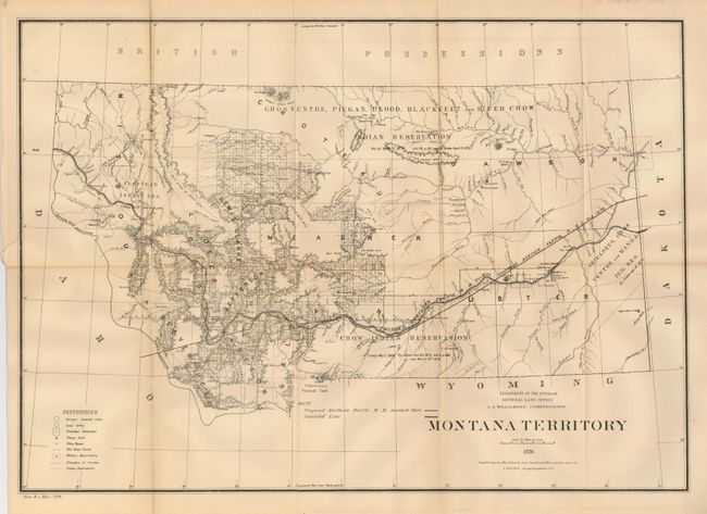
Subject: Montana

Period: 1879 (dated)

Publication: Sen. Ex. Doc. 120, 46th Congress

Color: Black & White

Size:
21 x 15 inches
53.3 x 38.1 cm
Download High Resolution Image
(or just click on image to launch the Zoom viewer)

An early territorial map produced by the GLO to detail their state survey efforts. This map names only ten of its eventual 56 counties. Remarkable detail with four huge Indian Reservations taking up a large portion of the territory. Names many forts and military installations including Ft. Peck Agency, Old Ft. Charles, Ft. Maginnis, and Ft. Custe, to name a few. The amended track of the Northern Pacific R.R. is noted, as is the original proposal of 1870. Filled with information including mining districts, township survey status, railroad limits and more. Virginia City is the territorial capital. Published by the Department of the Interior, J.A. Williamson, Commissioner. Compiled by C. Roeser, Principal Draughtsman.

References:

Condition: B

Folding as issued with original margins. One fold intersection split and one fold with toning that has split, else fine.

Estimate: $100 - $120

Sold for: $80

Closed on 5/9/2007

Archived