Catalog Archive
Auction 119, Lot 150

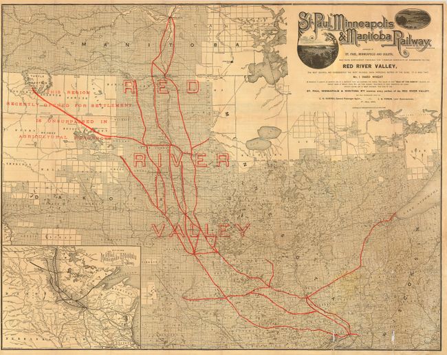
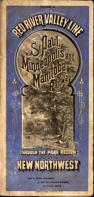
"St. Paul, Minneapolis & Manitoba Railway", Railroad Companies, (Various)

Subject: Central United States - Manitoba

Period: 1884 (dated)

Publication:

Color: Printed Color

Size:
30.3 x 24 inches
77 x 61 cm
Download High Resolution Image
(or just click on image to launch the Zoom viewer)

An uncommon promotional map used by the railroad company to sell land along the route. The St. Paul, Minneapolis & Manitoba Railway later became part of the Great Northern Railway. Railroads are shown in red overprinting, and a beautiful, Victorian-style title is illustrated with two lovely vignettes of the countryside. A large area around Turtle Mountain is labeled, "This region recently opened for settlement is unsurpassed in agricultural resources," and an inset in the lower left corner shows a broader view of the region. The coverage extends from Bismarck ND in the west, to the edge of Lake Superior in the east, and from Winnipeg in the north, down to Minneapolis. There are hundreds of lakes, rivers, major roads, towns, forts and other features displayed. Map folds down to 4 x 8.3", with railroad timetables, advertisements and other information on verso.

References:

Condition: B

Map has a number of fold separations, with minor loss on a couple of folds. Covers are worn and lightly soiled.

Estimate: $150 - $200

Sold for: $400

Closed on 5/9/2007

Archived