Catalog Archive
Auction 118, Lot 961

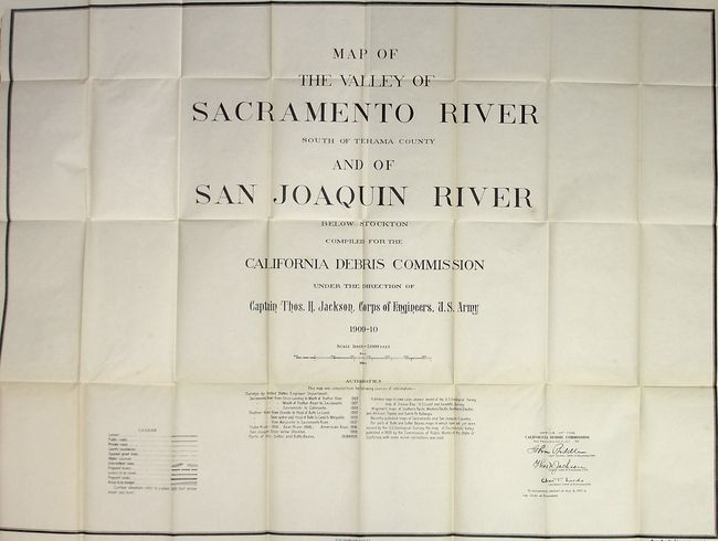
"Flood Control - Sacramento and San Joaquin River Systems, California", U.S. Corps of Engineers

Subject: Exploration and Surveys

Period: 1911 (dated)

Publication: HR doc 31, 62nd Cong., 1st Sess.

Color: Black & White

Size:
6.3 x 9.3 inches
16 x 23.6 cm
Download High Resolution Image
(or just click on image to launch the Zoom viewer)

The California Debris Commission, created in 1893, had been charged with regulating hydraulic mining, improving river navigation and affording relief in flood times. The report also contains a project and estimate of cost for relief from the floods in the Sacramento and San Joaquin River Valleys. It is an interesting and detailed treatment of an ever present threat. The list of maps in this report are as follows:
1)Title Page with Legend and Authorities, and signed in the plate by John Biddle, Thos. H. Jackson, Chas. T. Leeds and all of the Army Corp. of Engineers.
2)Sacramento and San Joaquin Rivers-Index Sheet
3)Sacramento and San Joaquin Rivers sheet A which identifies the towns of Oroville and Willows.
4)Sacramento and San Joaquin Rivers sheet B which identifies the towns of Colusa and Marysville.
5)Sacramento and San Joaquin Rivers sheet C which identifies the town of Woodland.
6)Sacramento and San Joaquin Rivers sheet D which identifies the city of Sacramento.
7)Sacramento and San Joaquin Rivers sheet E which identifies the city of Stockton.
8)Suisin Bay and Vicinity California sheet F
9)Profiles of the Sacramento River and Proposed By-Passes
Large, folding maps. Hardbound in light brown cloth. 55 pgs, 9 maps and charts. 8vo.

References:

Condition: B

Covers generally very good with some finger marks. Very little shelf wear or bumping. Maps all have minor toning on the folds, and some minor fold separations as well.

Estimate: $100 - $150

Sold for: $75

Closed on 3/6/2007

Archived