Catalog Archive
Auction 118, Lot 959

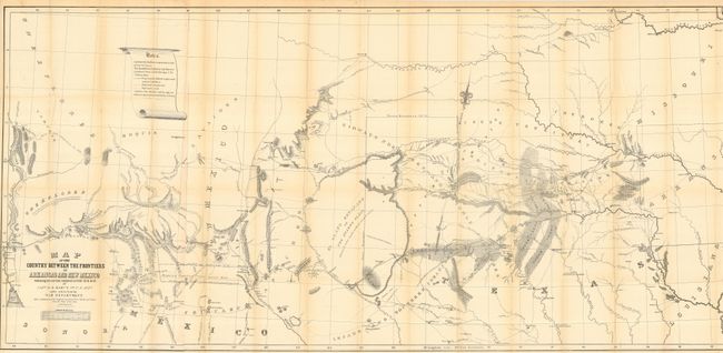
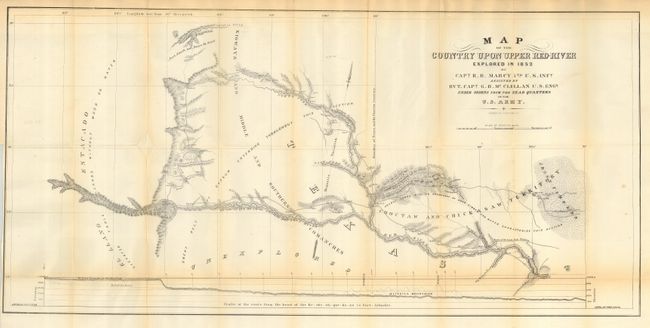
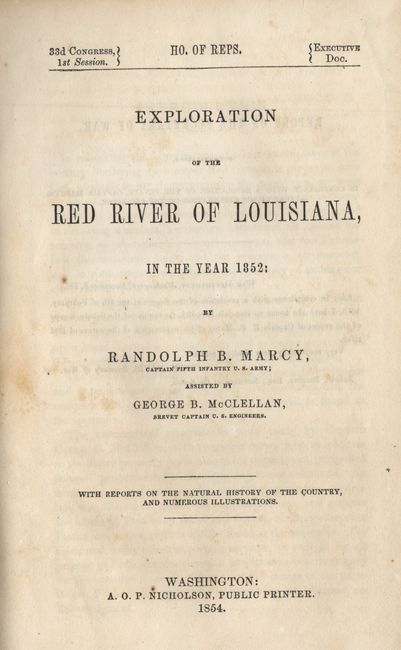
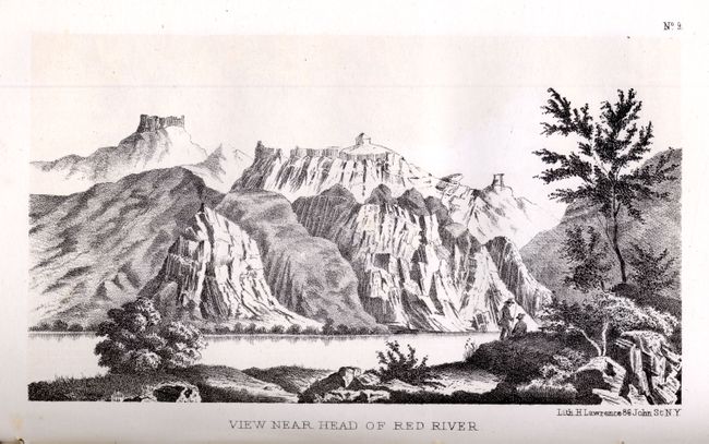
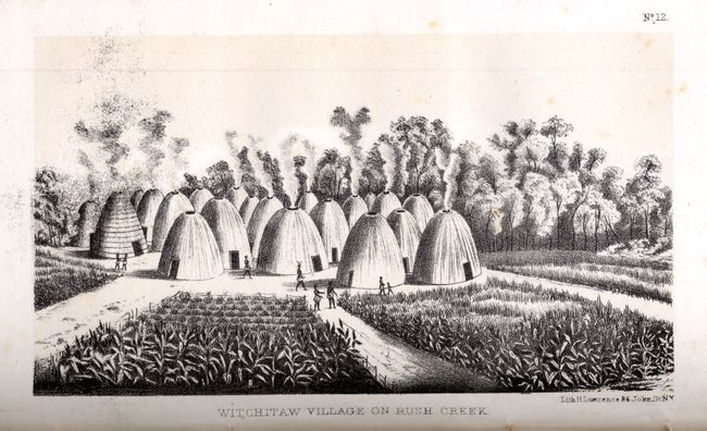
"Exploration of the Red River of Louisiana in the Year 1852", Marcy, Capt. R.B.

Subject: Exploration and Surveys

Period: 1854 (dated)

Publication: HR exec. Doc. 33rd. Cong., 1st Sess.

Color: Black & White

Size:
6.3 x 9.3 inches
16 x 23.6 cm
Download High Resolution Image
(or just click on image to launch the Zoom viewer)

The U.S. Army expedition commanded by Captain Marcy was the first to discover the source of the Red River. His report abounds in topographical and geographical detail with attention also paid to the customs of the native people in the southern plains. It includes an impressive scope of data, including meteorological and natural history information, with emphasis on geology, paleontology, reptiles, fish, insects and botanicals. Sixty-five beautifully lithographed plates are included, as well as a hand-colored fold-out geological chart of the region, and two folding maps;
Map of the Country between the Frontiers of Arkansas and New Mexico embracing the section explored in 1849, (59 x 27.5"). Wheat considers this map one of the best of the period that "no emigrant could afford to be without it".
Map of the Country upon Upper Red River explored in 1852 (33.8 x 16") is of special interest to Texas and Oklahoma collectors.
Introduction by R.B. Marcy. Table of contents and lists of illustrations and maps. Hardbound in embossed brown cloth with gilt title on spine. 286 pp. 8vo.

References: Wheat (TMW) #791.

Condition: A

Text and illustrations generally very good with minor foxing and toning at edges. Corners are bumped and shelf worn. Spine good with a couple of small chips on one hinge. Front cover has a faint pen mark near the top. Remnants of bookplate on front cover and another inside front cover.

Estimate: $500 - $700

Sold for: $350

Closed on 3/6/2007

Archived