Catalog Archive
Auction 118, Lot 942

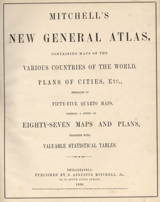
"Mitchell's New General Atlas, containing Maps of the Various Counties of the World, Plans of Cities, Etc…", Mitchell, Samuel Augustus

Subject: Atlases

Period: 1866 (dated)

Publication:

Color: Hand Color

Size:
13 x 15.8 inches
33 x 40.1 cm
Download High Resolution Image
(or just click on image to launch the Zoom viewer)
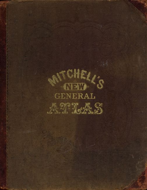
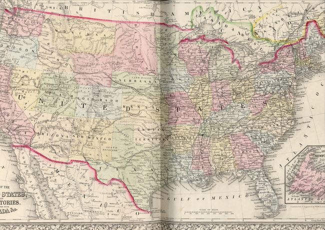
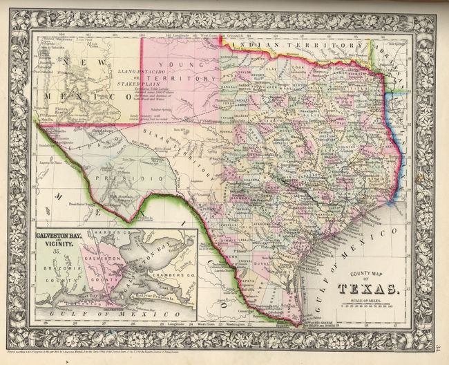
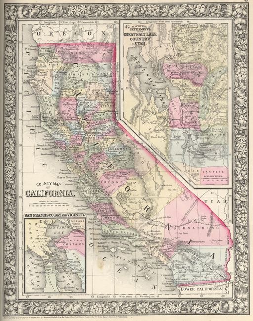
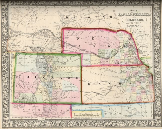
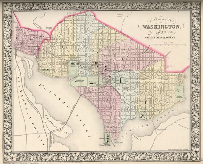
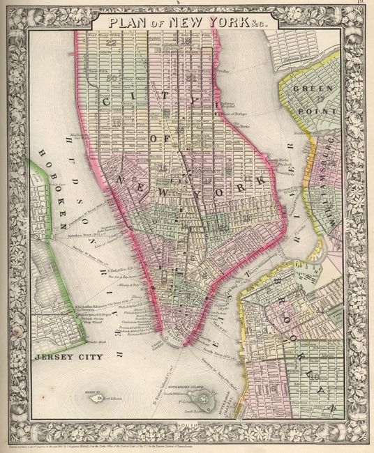
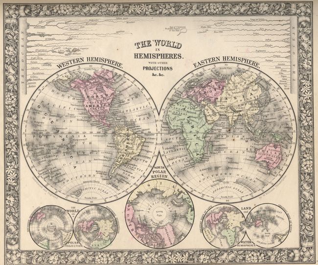
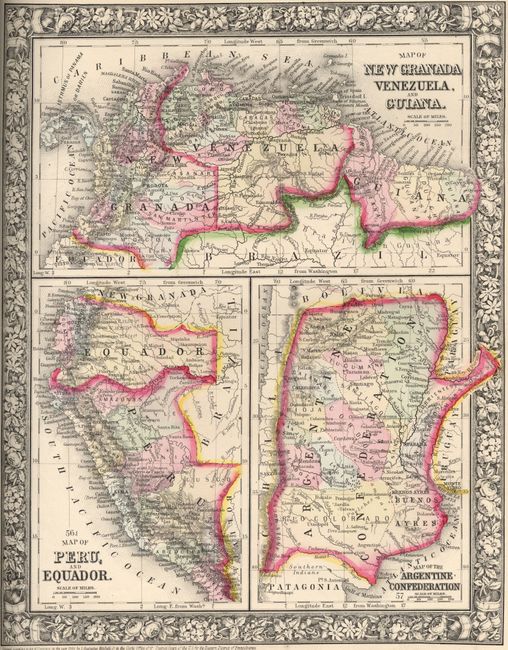
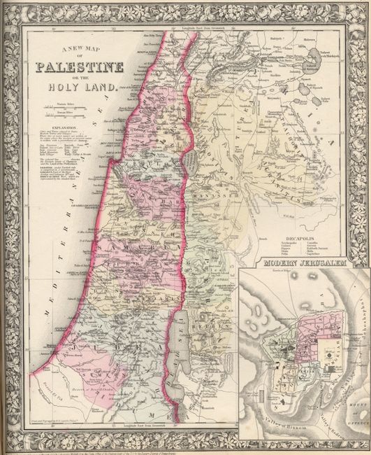
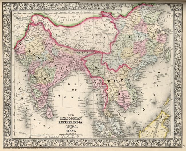
Complete atlas with 84 maps and plans on 59 sheets, each surrounded by Mitchell's signature floral border. Twenty-nine of the sheets are related to the United States with 41 individual states, regions and city plans. There are two world maps, one hemispheric and the other on Mercator's Projection. A very fine example of the Texas map with great hand coloring and a dark impression. This edition shows the Territory of Arizona owning the southern tip of Nevada with Las Vegas, and Wyoming still attached to Dacotah. A nice example of this desirable atlas with decorative maps. Small folio, original binding quarter calf over embossed cloth. Complete atlas with very nice maps in bright color with minimal flaws.

References:

Condition: A

Text and maps generally very good to fine. Original owner's inscription in ink inside front cover. Crayon markings on back of United States. Scattered foxing and light soiling. Covers sunned, stained, scuffed, cloth threadbear at edges, generally shelf worn. Binding tight, endpaper in back is missing. Contents very nice.

Estimate: $1,600 - $1,800

Sold for: $1,200

Closed on 3/6/2007

Archived