Catalog Archive
Auction 118, Lot 903

"Melville & Bathurst Islands with Cobourg Peninsula North Australia", Murray, John
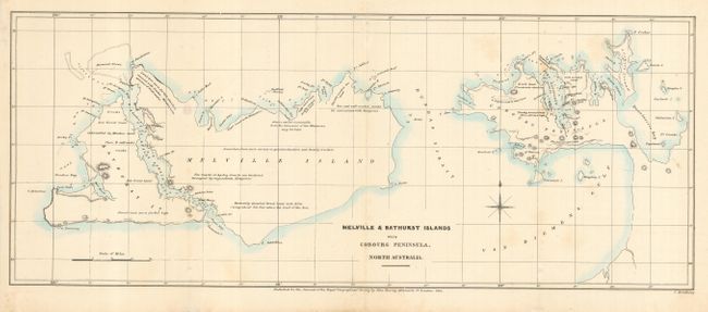
Subject: Australia

Period: 1834 (dated)

Publication: Journal for the Royal Geographical Society

Color: Hand Color

Size:
17.5 x 7 inches
44.5 x 17.8 cm
Download High Resolution Image
(or just click on image to launch the Zoom viewer)

This is the first detailed map of the Tiwi Islands, located off the coast of the Cobourg Peninsula in the Northern Territory of Australia. The islands were first sited by Abel Tasman in 1644. However, it was not until 1818 that a British Naval Officer explored the islands and named Melville Island after Viscount Melville, first lord of the Admiralty. Shortly after this, the British established the short-lived Fort Dundas in an attempt to settle the northern part of Australia. This map provides good detail of the coastlines and type of vegetation.

References:

Condition: B

Bit of light foxing.

Estimate: $90 - $120

Unsold

Closed on 3/6/2007

Archived