Catalog Archive
Auction 118, Lot 610

"L'Allemagne dressee sur les Observations de Tycho Brahe de Kapler de Suellius…", Delisle/Covens & Mortier

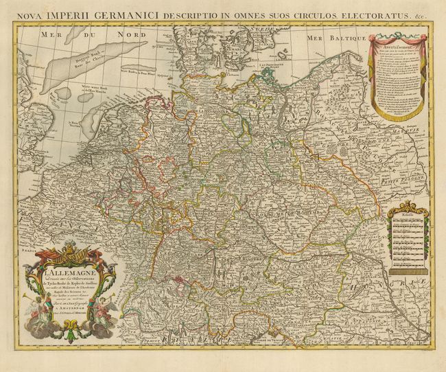
Subject: Europe - Central

Period: 1735 (circa)

Publication: Atlas Nouveau…

Color: Hand Color

Size:
24 x 19.5 inches
61 x 49.5 cm
Download High Resolution Image
(or just click on image to launch the Zoom viewer)

This an extremely detailed map covering the German Empire - present-day Germany, Netherlands, Switzerland, Austria, and parts of Poland and Hungary. The map provides information on topography, cities, villages, fortifications, forests and bridges. It is embellished with three fine cartouches. Latin title at top: Nova Imperii Germanici Descriptio in Omnes Suos Circulos, Electoratus, &c.

References:

Condition: A

Fine impression with a couple of light spots, still very good.

Estimate: $200 - $250

Sold for: $150

Closed on 3/6/2007

Archived