Catalog Archive
Auction 118, Lot 604

"Nobilis Hannoniae Comitatus Descrip. Auctore Iacobo Surhonio Montano", Ortelius, Abraham

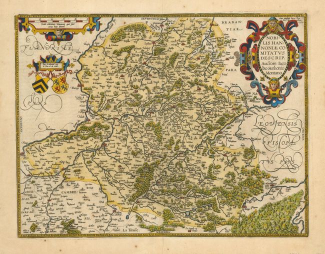
Subject: Belgium and France

Period: 1579 (dated)

Publication: Theatrum Orbis Terrarum

Color: Hand Color

Size:
19 x 14.5 inches
48.3 x 36.8 cm
Download High Resolution Image
(or just click on image to launch the Zoom viewer)

This is a superb copper engraved map of the border region between France and Belgium. It includes the cities of Mons, Maubeuge, and Valenciennes. The history of this map is fascinating. It was based on a manuscript map by Jacques Surhon (1548), which, for security reasons, was not published. In 1572, Ortelius applied for privilege to publish the map, but his request was never granted. The plate was engraved anyway, and several prints made from it appeared in the 1573-1575 editions of "Theatrum". That plate was then destroyed and a new one engraved, with privilege, in 1579, while Antwerp was independent for a brief time. This map is from a revised or re-engraved plate. Beautifully embellished with a large strapwork title cartouche, scale of miles and two coats of arms. This is the 1602 Spanish edition with the page number "43" on verso.

References: Van den Broecke #71.

Condition: A

A really nice, dark impression on a full sheet with wide margins and fine hand coloring. A little marginal staining or foxing and a printers crease or closed split in lower margin to border.

Estimate: $200 - $300

Sold for: $160

Closed on 3/6/2007

Archived