Catalog Archive
Auction 118, Lot 603

"Plan d'Ostende & du Fort Philippe", Le Rouge, George Louis
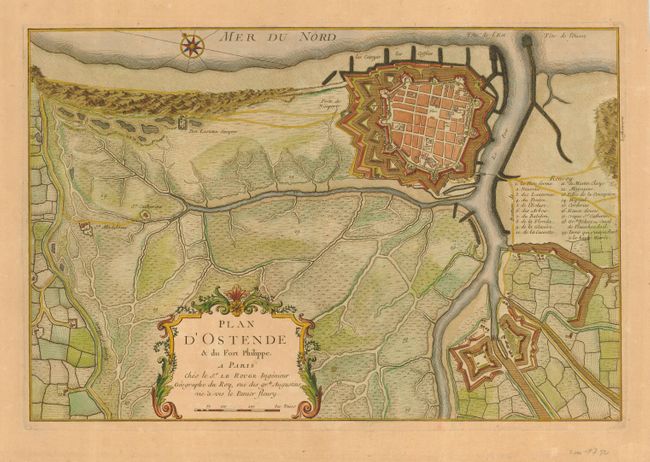
Subject: Belgium

Period: 1750 (circa)

Publication:

Color: Hand Color

Size:
18.5 x 12.3 inches
47 x 31.2 cm
Download High Resolution Image
(or just click on image to launch the Zoom viewer)

This interesting bird's-eye plan shows Ostend, Fort Philippe and the surrounding marshlands. In the second half of the 17th and throughout the 18th centuries Ostend was the principal port of Belgium. The plan shows the strengthened fortifications with eleven bastions and the outer sea walls. The plan is decorated with a large title cartouche and a compass rose.

References:

Condition: A

Pleasant even toning with a couple of insignificant spots.

Estimate: $130 - $180

Sold for: $100

Closed on 3/6/2007

Archived