Catalog Archive
Auction 118, Lot 462

"Carte de la Partie Occidentale des Iles Antilles comprenant St. Domingue, la Jamaique, Cuba et les Iles et Bancs de Bahama…", Depot de la Marine

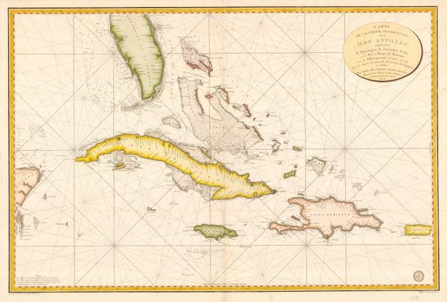
Subject: Greater Antilles

Period: 1800 (circa)

Publication:

Color: Hand Color

Size:
35.8 x 23.5 inches
90.9 x 59.7 cm
Download High Resolution Image
(or just click on image to launch the Zoom viewer)

Magnificent, detailed sea chart of the southern tip of Florida, Cuba, Jamaica, Hispaniola, Puerto Rico, the Bahamas and the eastern tip of the Yucatan Peninsula with its attendant islands. The coastlines are filled with soundings, and there is a key at the left indicating what kind of material the coastal and bank regions are composed of on the bottom. Embossed stamp of the Depot de la Marine and Prix Deux Francs in bottom right corner.

References:

Condition: A

Printed on fine, sturdy paper. Illegible ownership stamp on the verso.

Estimate: $1,000 - $1,400

Sold for: $750

Closed on 3/6/2007

Archived