Catalog Archive
Auction 118, Lot 44

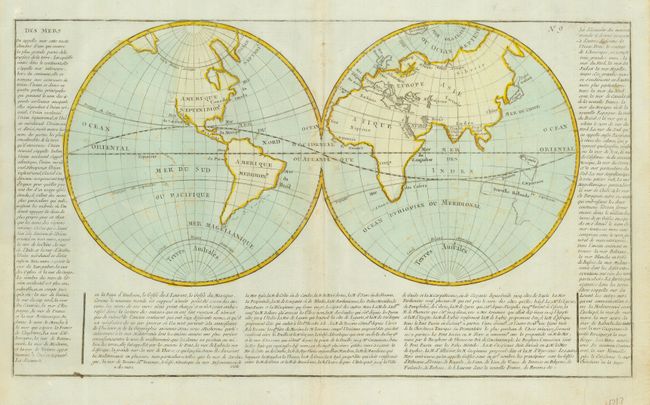
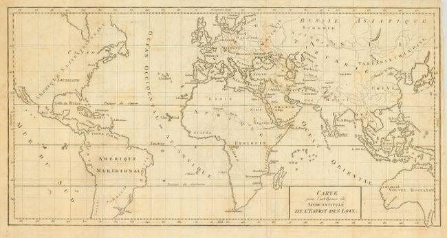
"[Lot of 2] [Untitled - World] [and] Carte pour l'Intelligence du Livre Intitule de l'Esprit des Loix",

Subject: World

Period: 1770-90 (circa)

Publication:

Color:

Size:
See Description
Download High Resolution Image
(or just click on image to launch the Zoom viewer)

Lot of two French produced maps of the world in the latter part of the 18th century. The first map is an untitled double hemisphere that shows Australia completely blank with Tasmania still attached, and with New Guinea possibly attached. The east coast is completely unknown and left blank. Curiously, none of the East Indian Islands are shown. The northwest coast of North America is also blank with the manuscript notation "Mer de Jeso." There is no sign of any of Cook's explorations or discoveries. Surrounded by French text on three sides describing the oceans of the world. With original hand color on lightly blue-toned paper, typical of French printmaking of this period, circa 1770, 22" x 12.5".
The second map is drawn on Mercator's Projection and shows similar geography to the former, except here New Guinea is shown separated from Australia (Nouvel Hollande), and the East Indies are well shown. In North America, the Baja is labeled Californie, the east-central part is Louisiane, and Boston is the only city named on the continent. Uncolored as issued, cartographer unknown, 18" x 9", circa 1780.

References:

Condition: B

First with a little foxing in map, full margins and original coloring. Second also has some foxing and two short fold splits closed on verso with archival tape.

Estimate: $180 - $220

Sold for: $100

Closed on 3/6/2007

Archived