Catalog Archive
Auction 118, Lot 359

"Map of the State of Montana", General Land Office
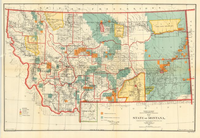
Subject: Montana

Period: 1906 (dated)

Publication:

Color: Printed Color

Size:
24 x 16 inches
61 x 40.6 cm
Download High Resolution Image
(or just click on image to launch the Zoom viewer)

This great map details the extent of public surveys in Montana. The map is filled with information, with well developed watershed and topography on this very colorful map. It shows Indian reservations (Blackfeet, Flathead, Fort Peck, Crow, etc.), military posts, and numerous railroads. The map locates Crow Agency, Custer Monument and Battlefield, and the Reno battlefield, as well as Yellowstone National Park in its entirety including major features. The legend identifies land offices, Surveyor Generals Office, military reservations, Indian reservations, and townships not yet subdivided. Settlement and political detail include counties, county seats, towns, villages, and railroad stations. One of the main features on this edition is the identification via color of townships containing coal or probably containing coal. Originally drawn in 1897, this issue carries updates to Dec. 19, 1906. Made under the direction of Harry King, Chief of Drafting, GLO.

References:

Condition: A

Near fine example with bright coloring, full margins. A little barely visible toning along a couple folds, else fine.

Estimate: $140 - $180

Sold for: $170

Closed on 3/6/2007

Archived