Catalog Archive
Auction 118, Lot 351

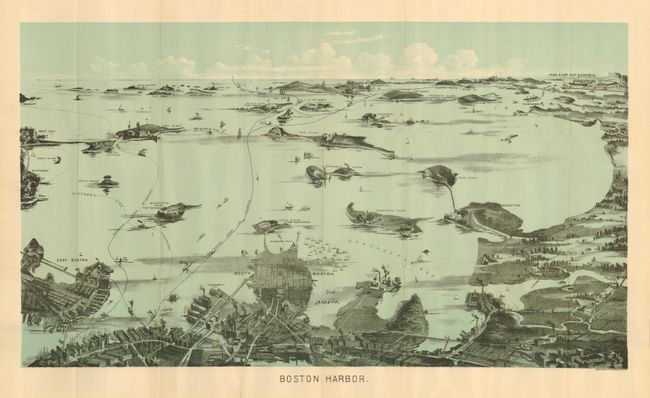
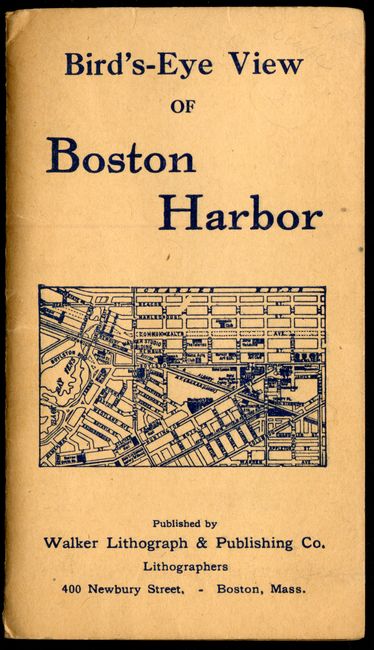
"Boston Harbor", Walker Lithograpic & Publishing Co.

Subject: Massachusetts, Boston

Period: 1910-15 (circa)

Publication:

Color: Printed Color

Size:
21.3 x 12 inches
54.1 x 30.5 cm
Download High Resolution Image
(or just click on image to launch the Zoom viewer)

This is a terrific bird's-eye map of the region that was produced for the tourist trade. The pocket map folds into paper covers with title the "Bird's-Eye View Map of Boston Harbor." The map extends from the coastal area of East and South Boston across the water to the main ship channel and the Boston Light. It locates Winthrop, Thompson's Island, Moon Island, Deer Island, Nahant, Green Island, the Brewster islands, Strawberry Hill, Fort Warren, Hough's Neck and much more. The Fore River Ship & Engine Co. is on the distant horizon. Steamer routes to Nantasket Beach, Nahant, Winthrop and more are identified. On the inside cover is an extensive list of maps available from Walker Lith. & Pub. Co. with the same list on back cover with the addition of several bird's-eye views. This map, according to the list, originally cost 10 cents. It is a fine single-color chromolithograph. Walker's maps were often sold as advertising maps under another name, most notably by the Union News Co.

References:

Condition: A

Folding, as issued. Terrific color and clean example. Near fine less some blue ink discretely laid over two printed lines and the words "Old Harbor." One fold split in margin not affecting image. Cover also near fine with slight toning or soiling.

Estimate: $100 - $140

Sold for: $170

Closed on 3/6/2007

Archived