Catalog Archive
Auction 118, Lot 197

"Nova Anglia Novum Belgium et Virginia", Jansson, Jan

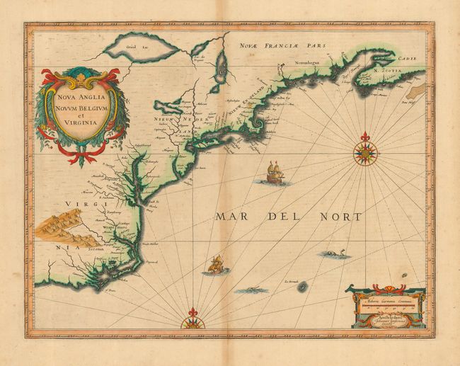
Subject: Colonial New England and Mid-Atlantic

Period: 1639 (circa)

Publication:

Color: Hand Color

Size:
19.8 x 15.2 inches
50.3 x 38.6 cm
Download High Resolution Image
(or just click on image to launch the Zoom viewer)

Jansson's influential map of the eastern coast of North America covers from just south of Cape Fear to Nova Scotia. The map is based on the less well-known map of Johannes de Laet of 1630, but covers a slightly larger area. The map includes part of the Great Lakes, labeled Grand Lac and Lac des Yroquois, an unnamed Lake Champlain, and a fictitious lake at the headwaters of the Delaware River. According to Karpinski this "is the first printed complete map of Lake Superior" although there is no evidence to support that and Grand Lac is more likely Lake Huron. The map is adorned with two decorative cartouches, ships, sea monsters and compass roses. This is the first state with French text on verso.

References: Burden #247; Cumming (SE) #39; Karpinski, p. 26, p. 31, & plt. II; McCorkle #636.2.

Condition: B

Toned on centerfold with a bit of minor foxing. Short tear in lower blank margin, well away from map.

Estimate: $2,200 - $2,500

Unsold

Closed on 3/6/2007

Archived