Catalog Archive
Auction 118, Lot 168

"Recent Discoveries in the Arctic Regions", Aspin, Jehoshaphat

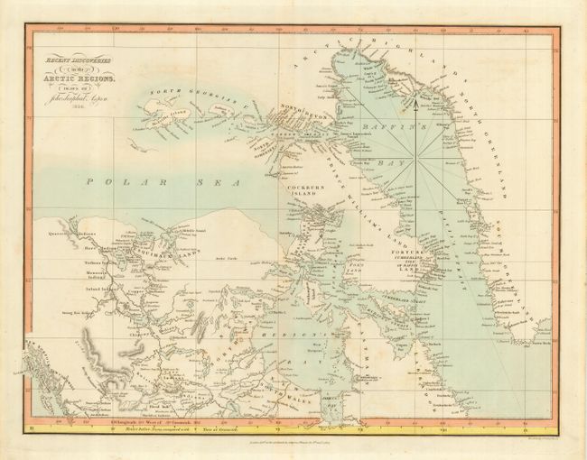
Subject: Canadian Arctic

Period: 1827 (dated)

Publication:

Color: Hand Color

Size:
17 x 13 inches
43.2 x 33 cm
Download High Resolution Image
(or just click on image to launch the Zoom viewer)

This uncommon map of the Arctic is quite detailed, with information reflecting the progress of explorations in that region with many native tribes and places named. The region shown is from the Queen Charlotte Islands and Mackenzie Bay in the West to the western edge of Greenland. The Mackenzie Mountains are here called the Rocky Mountains, and Baffin Island is named as Prince William's Land. The overland travels of Alexander Mackenzie in 1793 seem to have provided most of the information for the inland region west of Hudson Bay. A very handsome map with an horological addition at the bottom, Hours before Noon, compared with Time at Greenwich. Published by J. Harris, St. Paul's Churchyard, January of 1827.

References:

Condition: B

Very attractive, original coloring. There are just a few spots of light foxing scattered in the map. Hinge remnants in the top margin.

Estimate: $200 - $275

Sold for: $150

Closed on 3/6/2007

Archived