Catalog Archive
Auction 118, Lot 167

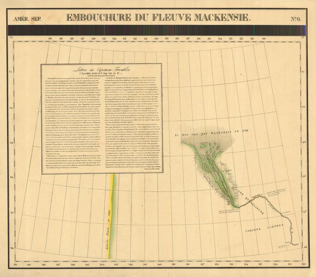
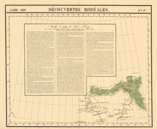
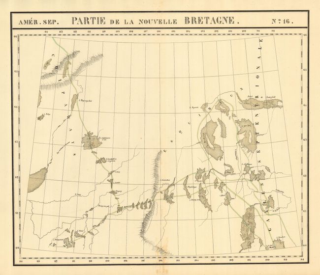
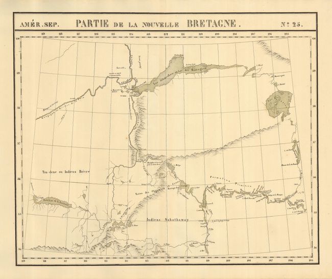
"[Lot of 4 - Arctic Canada]", Vandermaelen, Philippe Marie Guillaume

Subject: Canadian Arctic

Period: 1825-7 (published)

Publication: Atlas Universel de Geographie Physique, Politique, Statistique et Mineralogique

Color: Hand Color

Size:
23 x 19 inches
58.4 x 48.3 cm
Download High Resolution Image
(or just click on image to launch the Zoom viewer)

Great group of maps detailing the Canadian Arctic and the areas traveled and explored by Mackenzie, Franklin and Parry. The Atlas Universel was the first atlas to present all the maps on the same scale (1: 1,641,836), with each map covering an area of approximately 20 degrees of longitude (from Paris) and 6 degrees of latitude. It was also considered to be the first lithographic atlas ever published. The maps were meant to be joined together to form a huge globe, measuring 7.75 meters in diameter. There was only one edition of the atlas, published in 1825-27, and the subscription list shows that 810 copies were sold. The maps are as follows:

1) Amer. Sep. Embouchure du Fleuve Mackenzie. No. 6. Mackenzie Inlet to Arctic Ocean with a note in French about the Franklin expedition of 1825.
2) Amer. Sep. Decouvertes Boreales. No. 7. Region of northern Nunavut showing the Coronation Gulf and Bathhurst Inlet with a large description of Capt. Parry's exploration in French.
3) Amer. Sep. Partie de la Nouvelle Bretagne. No. 16. Portion of Nunavut and Northwest Territory just past Chesterfield Inlet, showing Baker Lake to past Dubawnt Lake, but not to Slave Lake.
4) Amer. Sep. Partie de la Nouvelle Bretagne. No. 25. The northern parts of Saskatchewan and Alberta with Lake Athabasca, Lesser Slave Lake and the Peace River.

References:

Condition: B

Most good with just a few spots of foxing and some light toning on centerfold on a couple maps. Some short, marginal tears, well away from map.

Estimate: $400 - $600

Sold for: $300

Closed on 3/6/2007

Archived