Catalog Archive
Auction 118, Lot 155
"Amerique Septentrionale", Furne & Cie
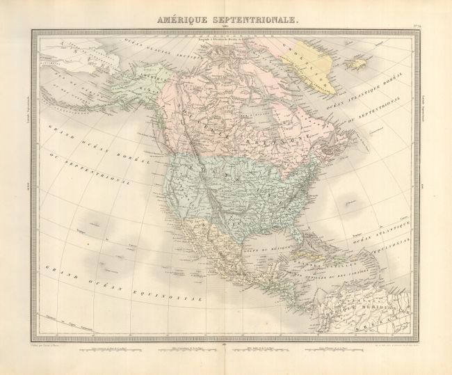
Subject: North America
Period: 1850 (circa)
Publication:
Color: Hand Color
Size:
16.5 x 13.3 inches
41.9 x 33.8 cm
Download High Resolution Image
(or just click on image to launch the Zoom viewer)
(or just click on image to launch the Zoom viewer)