Catalog Archive
Auction 118, Lot 153

"North America", SDUK Society for the Diffusion of Useful Knowledge

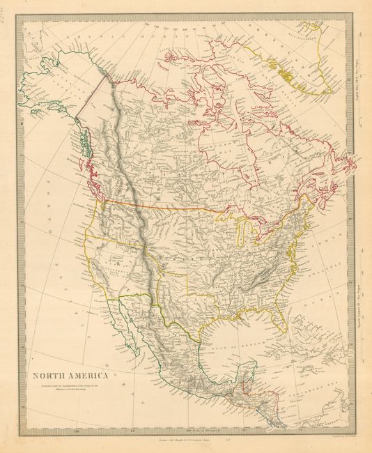
Subject: North America

Period: 1846 (circa)

Publication:

Color: Hand Color

Size:
12 x 15 inches
30.5 x 38.1 cm
Download High Resolution Image
(or just click on image to launch the Zoom viewer)

Detailed and finely engraved map that portrays an Independent Texas and has Mexico controlling Nueva California. Some issues of this map leave the boundary between Canada and the United States uncolored, so the ownership of Oregon Territory (here labeled Columbia) is undetermined. This issue mixes things up a little with "Columbia" still straddling the U.S. and British Columbia, but the border is hand colored to show today's boundary as agreed upon in 1846. Filled with well developed topography, the map names numerous forts, trading posts, Indian tribes and locates L. Youla roughly near the Great Salt Lake with the American Fur Depot on its eastern shore. The R. Buenaventura extends to the Pacific from two branches, one originating from a large swamp in the Great Basin. The course of the Snake River is fairly accurate, but the Colorado River originates too far north and rushes to the Sea of Cortez in a straight line. Locates the three buttes in present-day Idaho -- important landmarks on the Oregon Trail and for earlier fur trappers. Lake Michigan retains its erroneous elongated shape. Distance scales outside of border give English Miles and Spanish Leagues. Engraved by J. & C. Walker and published by Charles Knight.

References:

Condition: A

A near fine example with fine original coloring, crisp, early impression, and full margins. Short marginal tear at left and closed on verso.

Estimate: $180 - $250

Sold for: $90

Closed on 3/6/2007

Archived