Catalog Archive
Auction 118, Lot 145

"Charte von Nordamerica nach den neuesten Bestimmungen und Entdeckungen", Reichard, Christian Gottlieb Theoph

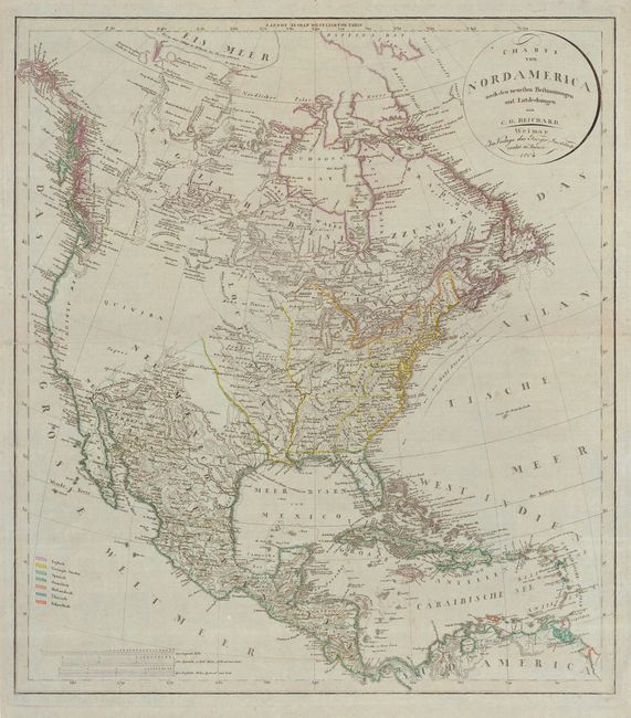
Subject: North America

Period: 1804 (dated)

Publication:

Color: Hand Color

Size:
20.6 x 23.3 inches
52.3 x 59.2 cm
Download High Resolution Image
(or just click on image to launch the Zoom viewer)

This superb map of North America was issued at one of the most interesting points in United States history shortly after the acquisition of the Louisiana Territory. Thus, it illustrates the young nation on the eve of the epic explorations of Lewis and Clark, with the vast western region labeled only Quivira, contrasting with the otherwise fine detail. Based largely on Arrowsmith's revised map of 1802 with information from Mackenzie and Fidler in the Canadian wilderness, it includes excellent detail along the northwest coast based on the voyages of Cook, Vancouver, and La Perouse. The map also presents an interesting picture of early development west of the Appalachian and Allegheny Mountains, with the region of present-day Ohio labeled Indiana, below which is Kentucki, and the proposed state of Franklin. This is one of the very few maps depicting the fledgling state of Franklin and it is not listed in Ashley Baynton-Williams' article in The Map Collector. The map includes a color key showing the various possessions of the English, United States, Spanish, French, Dutch, Danish and Swedish. Printed on French paper with a bluish tone that was prevalent during this period.

References: TMC #72, pp. 12-17; Wheat [TMW] #263.

Condition: A

Original outline color. Minor soil and a couple of marginal tears with old blue paper repairs.

Estimate: $1,200 - $1,400

Sold for: $1,800

Closed on 3/6/2007

Archived