Catalog Archive
Auction 118, Lot 144

"Nova Mappa Geographica Americae Septentrionalis", Probst, Johann Michael

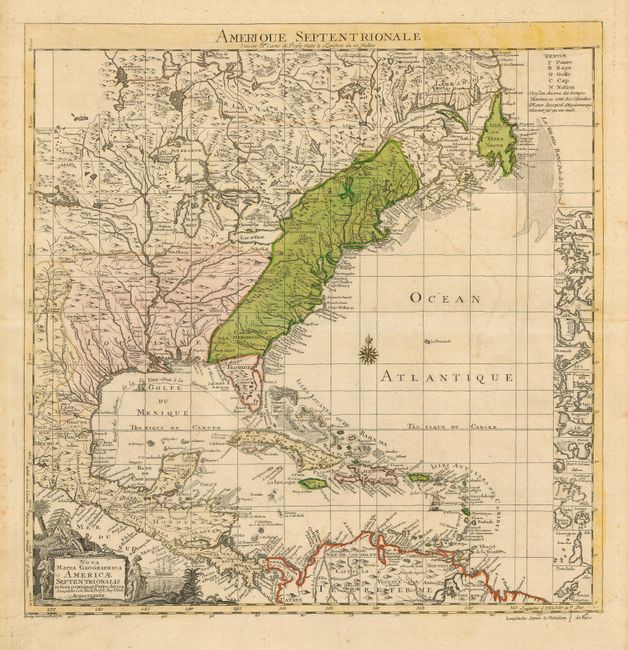
Subject: North America

Period: 1782 (dated)

Publication:

Color: Hand Color

Size:
19.3 x 19.5 inches
49 x 49.5 cm
Download High Resolution Image
(or just click on image to launch the Zoom viewer)

This is a scarce and unusual German variant of the key map for Henry Popple's seminal map of North America. Probst's map is a close copy of the Le Rouge (French edition). However, unlike the Dutch and French versions, this German edition contains a geographical difference from the British original - Lake Champlain has two branches on the south end instead of just one. The thirteen British colonies are clearly delineated, just one year before the formal peace treaty between the United States and Britain. At right is a column of inset maps including Boston, New York, Charlestown, St. Augustine, Bermuda and several others. The Spanish galleons' route from Vera Cruz to Havana is marked. The pictorial cartouche features Native Americans. Title above map, "Amerique Septentrionale Suivant la Carte de Pople…"

References: McCorkle #782.14.

Condition: A

Nice impression and original color. Minor foxing and a short cut in blank margins, not affecting map.

Estimate: $2,300 - $2,750

Sold for: $2,400

Closed on 3/6/2007

Archived