Catalog Archive
Auction 118, Lot 114
"Carte du Nouveau Continent selon sa plus grande longeur diametrale depuis la Riv. de la Plata jusqu'au dela du Lac des Assiniboins", Robert de Vaugondy, Didier
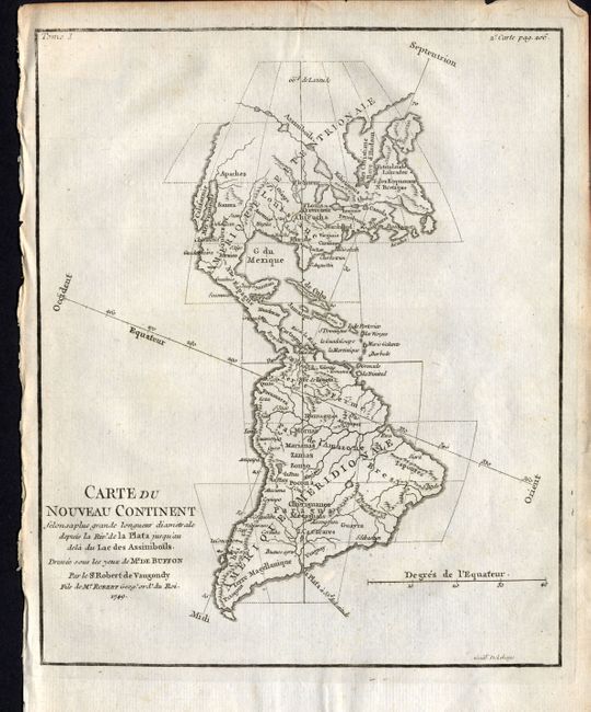
Subject: Western Hemisphere
Period: 1749 (dated)
Publication: Histoire Naturelle
Color: Black & White
Size:
7 x 8.5 inches
17.8 x 21.6 cm
Download High Resolution Image
(or just click on image to launch the Zoom viewer)
(or just click on image to launch the Zoom viewer)