Catalog Archive
Auction 117, Lot 875

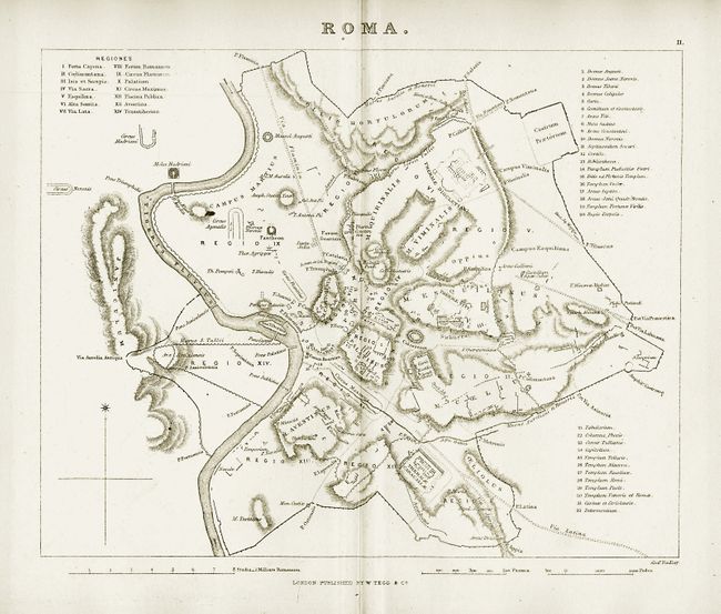
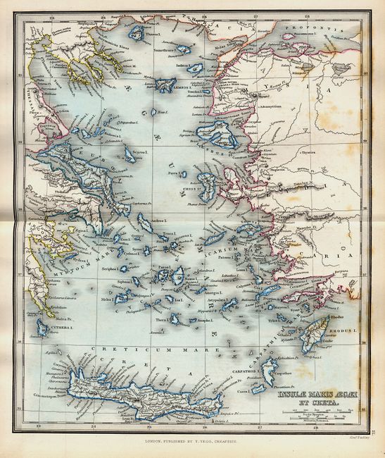
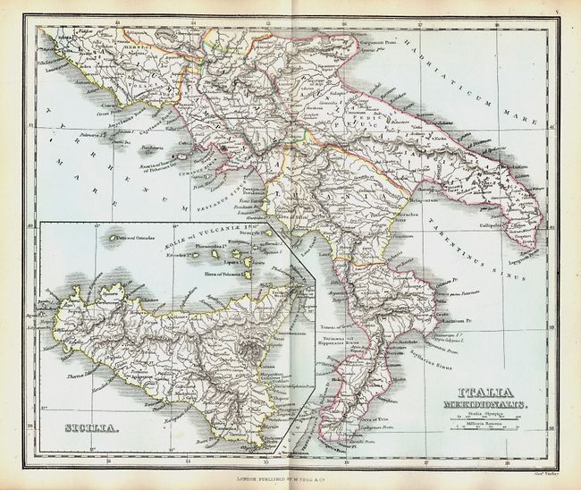
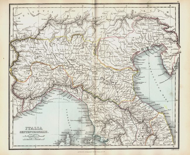
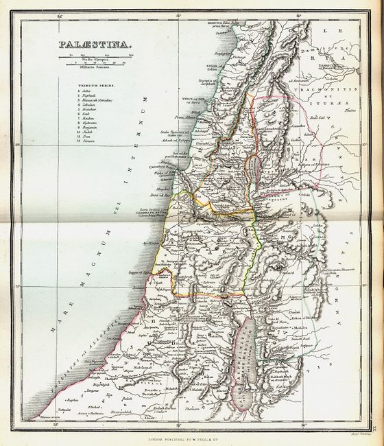
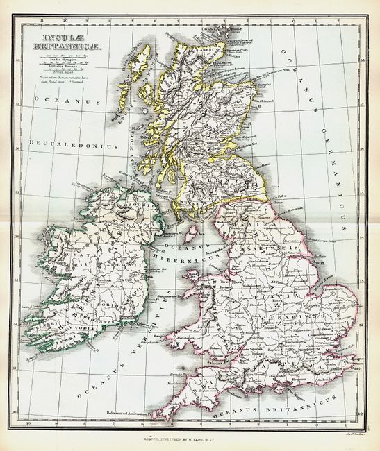
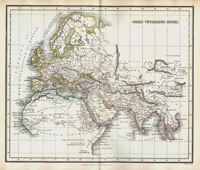
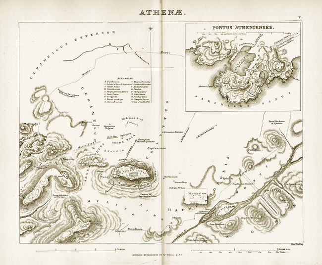
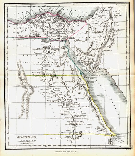
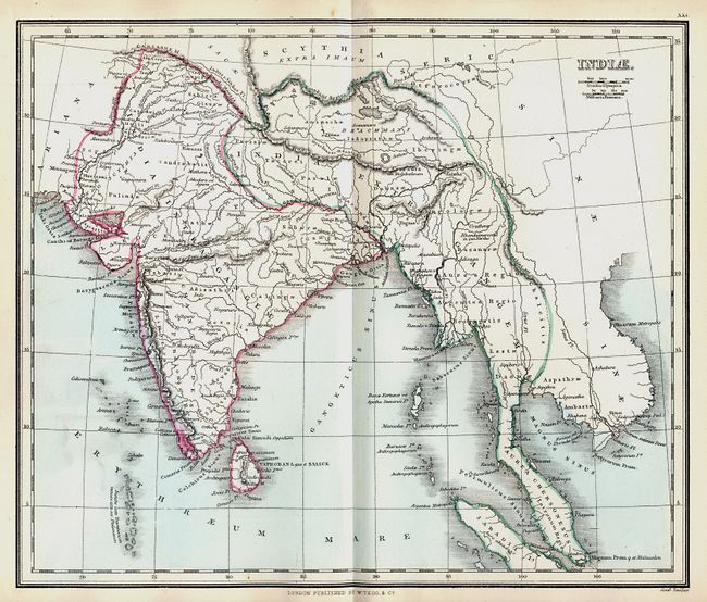
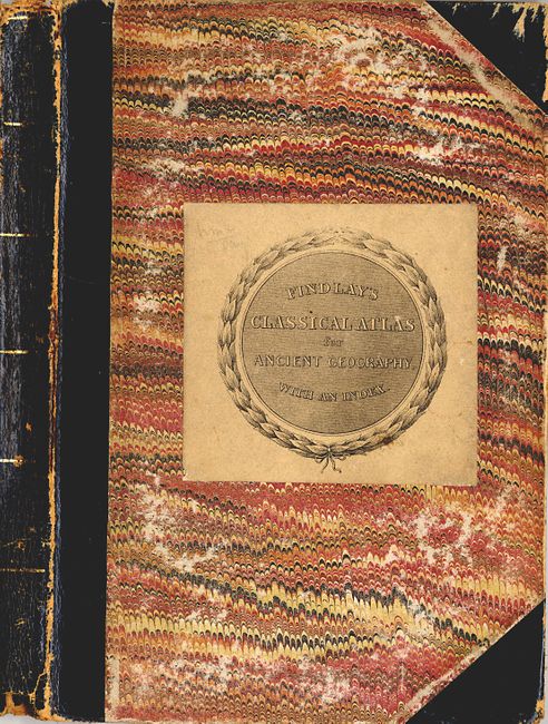
"A Classical Atlas, to Illustrate Ancient Geography; Comprised in Twenty-Five Maps…", Findlay, Alexander

Subject: Atlases

Period: 1840 (circa)

Publication:

Color: Hand Color

Size:
7 x 10 inches
17.8 x 25.4 cm
Download High Resolution Image
(or just click on image to launch the Zoom viewer)

This classical atlas consists of 25 double-page maps of the ancient world, a 12 page introduction that includes a map of the Roman roads of central Italy from the Peutenger Table and a 44 page map index. Some of the more important maps include Palestina, Syria, a plan of ancient Rome that features the Pantheon and the Coliseum, and a plan of ancient Athens showing the Acropolis. Complete, 8vo, hardbound with marbled paper covers, leather spine and corners.

References:

Condition: B

Text generally very good with light toning and occasional foxing. Most maps have attractive outline color with no tears or separations. Moderate shelf wear at edges and spine. Leather on spine starting to separate

Estimate: $180 - $275

Sold for: $425

Closed on 12/6/2006

Archived