Catalog Archive
Auction 117, Lot 874

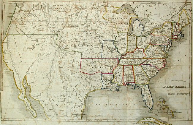
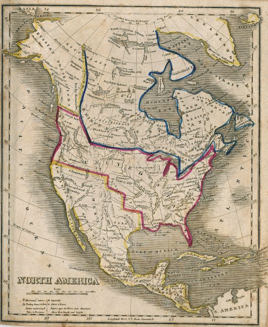
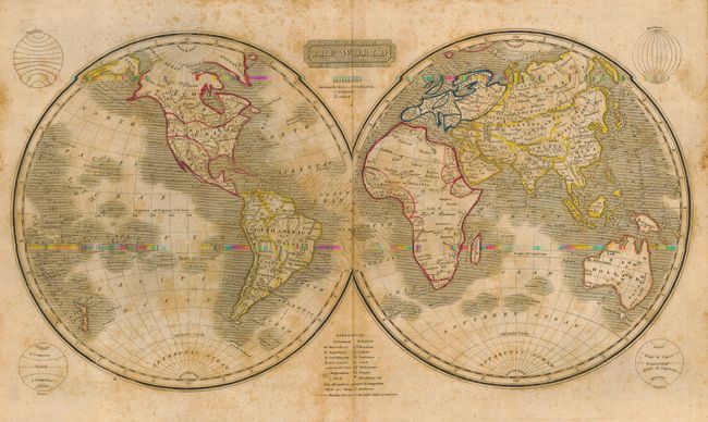
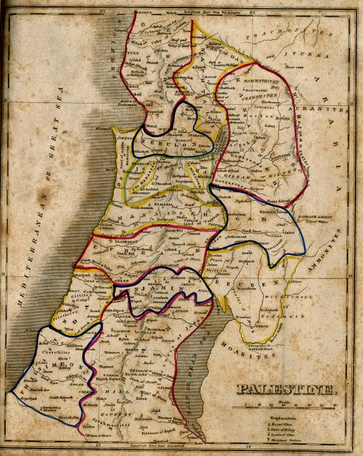
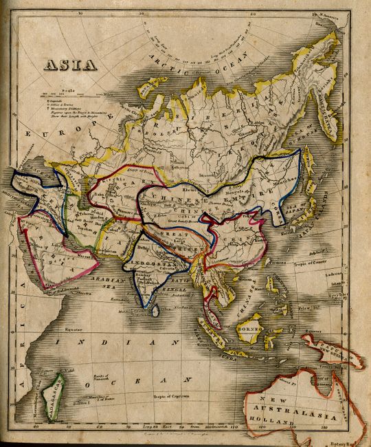
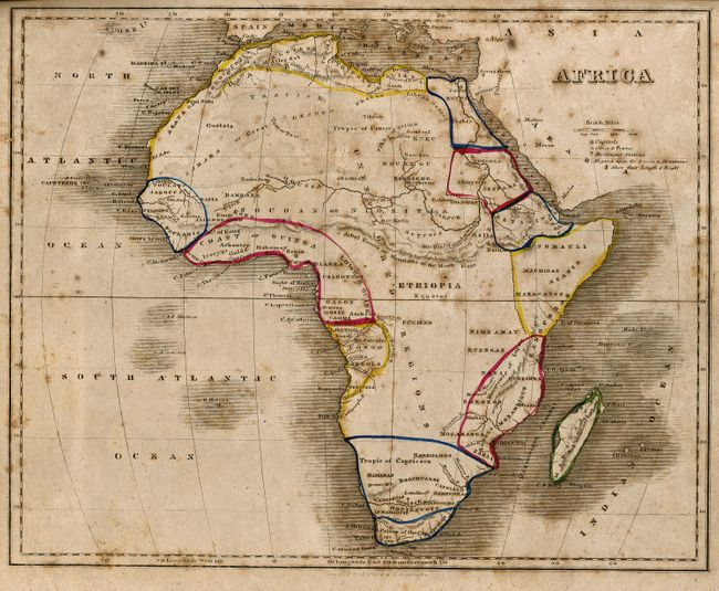
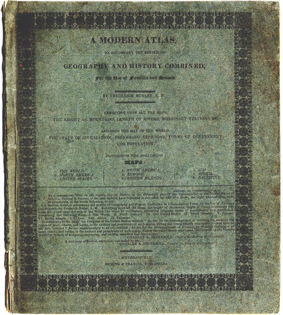
"A Modern Atlas to Accompany the System of Geography and History Combined", Butler, Frederick

Subject: Atlases

Period: 1825 (circa)

Publication:

Color: Hand Color

Size:
9 x 10.4 inches
22.9 x 26.4 cm
Download High Resolution Image
(or just click on image to launch the Zoom viewer)

This geography is by Frederick Butler and is complete with inside covers showing tables regarding mountains and rivers and seven statistical tables for the United States, 1815-1822. Inside covers with tables regarding mountains and rivers and seven statistical tables for the United States, 1815-1822. Includes nine maps:

1) The World (16.5 x 8.5").
2) North America. The United States is shown with claims in the Pacific Northwest extending into Canada labeled New Caledonia. Canada is here called Prince Rupert Land, referring to a part of the holdings of the Hudson's Bay Company. (8 x 10").
3) United States. This map features several early territories including Territory of Columbia located in the Pacific Northwest, a huge Missouri Territory and Arkansaw Territory. The town of Galvezton is not located in current Galveston Bay, but is instead far inland. The Mexican settlements of New Santander is partially located in present-day Texas. There are several interesting notes throughout the West concerning the size of various Indian tribes. The R. Buenaventura flows into a large lake, "The western limits of the lake are unknown" and is speculatively shown by dotted line to continue on to the Pacific.(18.5 x 11.5")
4) South America (7.8 x 9.5").
5) Europe, with Prussian, Austrian and Turkish Empires (9.8 x 8").
6) British Islands (8 x 9.7").
7) Asia This map extends to include New Holland/Australasia and locates Botany Bay (7.8 x 10").
8) Africa The interior is labeled Unexplored Regions and the continent is nearly bisected by the Jekel Kumra or Mountains of the Moon. (9.7 x 7.8").
9) Palestine The map shows the divisions among the Tribes of Israel. (8 x 10").

References:

Condition: B

Atlas is complete with original paper covers, slightly rubbed at corners. All maps have original outline color and all are foxed.

Estimate: $200 - $275

Sold for: $275

Closed on 12/6/2006

Archived