Catalog Archive
Auction 117, Lot 834

"Tartariae sive Magni Chami Regni Typus", Ortelius, Abraham

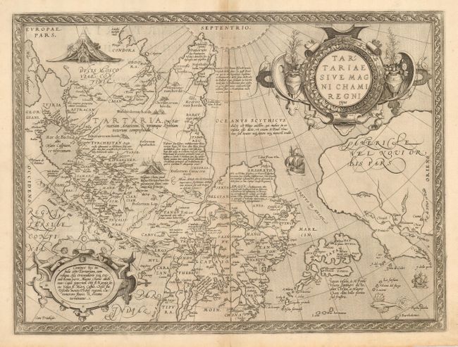
Subject: North Pacific Ocean and Northern Asia

Period: 1570 (circa)

Publication: Theatrum Orbis Terrarum

Color: Black & White

Size:
18.5 x 13.7 inches
47 x 34.8 cm
Download High Resolution Image
(or just click on image to launch the Zoom viewer)

This extremely decorative map is the earliest map to focus on the North Pacific and is one of the earliest depictions of Northwestern America. While designed to illustrate the expansive Kingdom of the Great Khan in Asia, its main feature is the Stretto di Anian. Ortelius' depiction increased public awareness of Gastaldi's theory of a strait between the continents of Asia and America. The map covers northern Russia, China, and a very early depiction of Japan, which is located just off the American shore. The map was beautifully engraved by Frans Hogenberg and is filled with decoration including two encampments of Tartars, sailing ships, a flying fish and two elaborate strapwork cartouches. Latin text on verso.

References: Van den Broecke #163, Burden #41.

Condition: A

Exquisite, sharp impression with very light toning on centerfold.

Estimate: $1,400 - $2,000

Sold for: $1,200

Closed on 12/6/2006

Archived