Catalog Archive
Auction 117, Lot 826

"[Lot of 3 - Western Africa]", Weller, Edward

Subject: Africa - Western

Period: 1853-1888 (circa)

Publication:

Color: Hand Color

Size:
See Description
Download High Resolution Image
(or just click on image to launch the Zoom viewer)
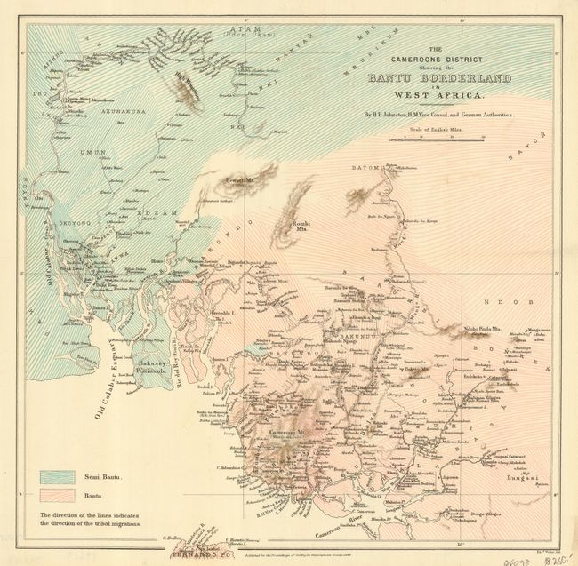
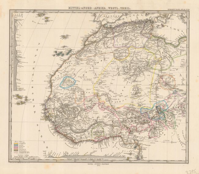
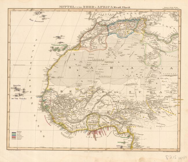
These three maps make an interesting comparison of the growth of 19th century mapping on western Africa.
1) The Cameroons District Showing the Bantu Borderland in West Africa is an unusual and informative thematic map of the tribal travels of the Bantu peoples in the latter part of the 19th century. The map shows not only the separation of Bantu and Semi Bantu peoples, but also indicates the direction in which they travel. This map was prepared for the Royal Geographical Society by H. H. Johnson and lithographed by Edward Weller in 1888. (14x 13.8")
2) Mittel-und Nord-Africa, Westl. Theil was created in 1853 by Justus Perthes for Stieler's Hand-Atlas and shows a detailed accounting of the information that was available at that time. The Sahara is huge and is left essentially blank with just a few places and routes noted. The colonial claims by various European counties are noted, and the newly-created Liberia is shown. A color key on the bottom identifies colonial possessions. (15.3 x 12.5")
3) Mittel-und Nord-Africa, Westl. Theil was created by Justus Perthes for the 1875 edition of Stieler's Hand-Atlas and shows a tremendous amount of growth in the knowledge of the central portion of western Africa. The Sahara region is filled with names of places and routes. The Portuguese have claimed a large portion of the interior of the Sahara, and a topographical view of the Sahara has been added on the left of the map, and a color key on the bottom identifies colonial possessions. (15 x 12.75")

References:

Condition: A

All generally good with a bit of soil and a crease in map #2.

Estimate: $150 - $275

Sold for: $75

Closed on 12/6/2006

Archived