Catalog Archive
Auction 117, Lot 796

"Africa", Schlieben, Wilhem Ernst August von
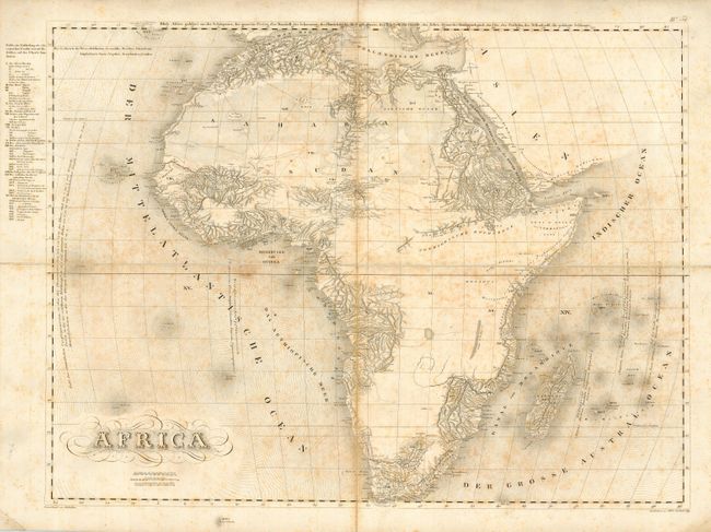
Subject: Africa

Period: 1830 (circa)

Publication:

Color: Black & White

Size:
28 x 22 inches
71.1 x 55.9 cm
Download High Resolution Image
(or just click on image to launch the Zoom viewer)

This is a very large, finely engraved and detailed map of Africa. It is segmented and mounted on original linen. The map honestly portrays the current knowledge of the continent's geography with large areas left completely blank. The map gives fine detail, where known, of the topography and watershed, lakes, deserts, trails and trade routes, and more. Includes Madagascar and the Mauritius Islands. Political divisions are noted and identified in an index in the left margin outside of the neatline. Von Schlieben's maps are normally seen in a much smaller size, so this issue is quite unusual.

References:

Condition: B

Crisp, dark impression. Overall foxing, else no flaws.

Estimate: $150 - $200

Sold for: $140

Closed on 12/6/2006

Archived