Catalog Archive
Auction 117, Lot 74

"A New Map of America, From the Latest Authorities", Cary, John

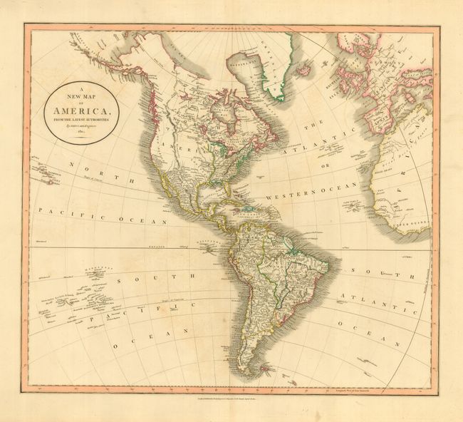
Subject: Western Hemisphere

Period: 1811 (dated)

Publication:

Color: Hand Color

Size:
21 x 18 inches
53.3 x 45.7 cm
Download High Resolution Image
(or just click on image to launch the Zoom viewer)

Large map of the Americas with a rudimentary shape for Alaska, here unnamed. The Aleutian Chain is well presented. The Bering Sea is labeled the Icy Sea. The United States is shown confined east of the Mississippi River. The western part of North America is bisected by a huge mountain range labeled the Stony Mountains and is shown as completely unexplored with a few suspected rivers delineated by dotted lines. California is named New Albion. The map extends to show the Sandwich and Dangerous Archipelago, Britain and Europe, and western Africa.

References: cf Phillips (A) #714-50.

Condition: B

A lovely example with a dark impression, fine original hand coloring and thick paper with wide margins. A little offsetting in blank areas, else near fine: it would be an A- if we had that rating!

Estimate: $200 - $250

Sold for: $100

Closed on 12/6/2006

Archived