Catalog Archive
Auction 117, Lot 721

"Terra Sancta, a Petro Laicstain Perlustrata, et ab eius ore et Schedis a Christiano Schrot in Tabulam Redacta", Ortelius, Abraham
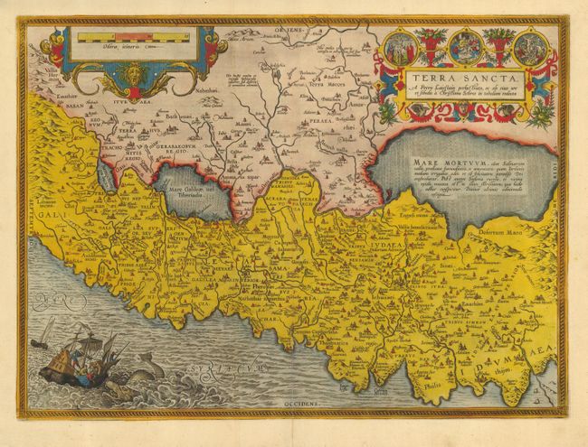
Subject: Holy Land

Period: 1584 (circa)

Publication: Theatrum Orbis Terrarum

Color: Hand Color

Size:
19.5 x 14.3 inches
49.5 x 36.3 cm
Download High Resolution Image
(or just click on image to launch the Zoom viewer)

This striking map is considered the most 'modern' of Ortelius' maps of the Holy Land. It is a very detailed map, centered on Samaria, with north oriented to the left. The map was drawn by Christian Schrot with cartography based on Peter Laicksteen's wall map describing his 1566 visit to the Holy Land. The elaborate title cartouche incorporates vignettes of the birth, crucifixion and resurrection of Jesus. The map is further adorned with a bold distance scale and a dramatic scene depicting Jonah falling from a ship into the mouth of the whale. German text on verso.

References: Nebenzahl (HL) plt. 31; Tooley (TMC-3, pp.28-31; Van den Broecke #173.

Condition: A

Early impression with attractive later color. Professional repair on bottom centerfold with no loss of image. Couple of minor marginal tears with professional repairs.

Estimate: $900 - $1,200

Sold for: $800

Closed on 12/6/2006

Archived